Applied Social Cartography for the Comarca Minera Geopark, Hidalgo:”maps that speak and tell stories”
Maps That Speak and Tell Stories
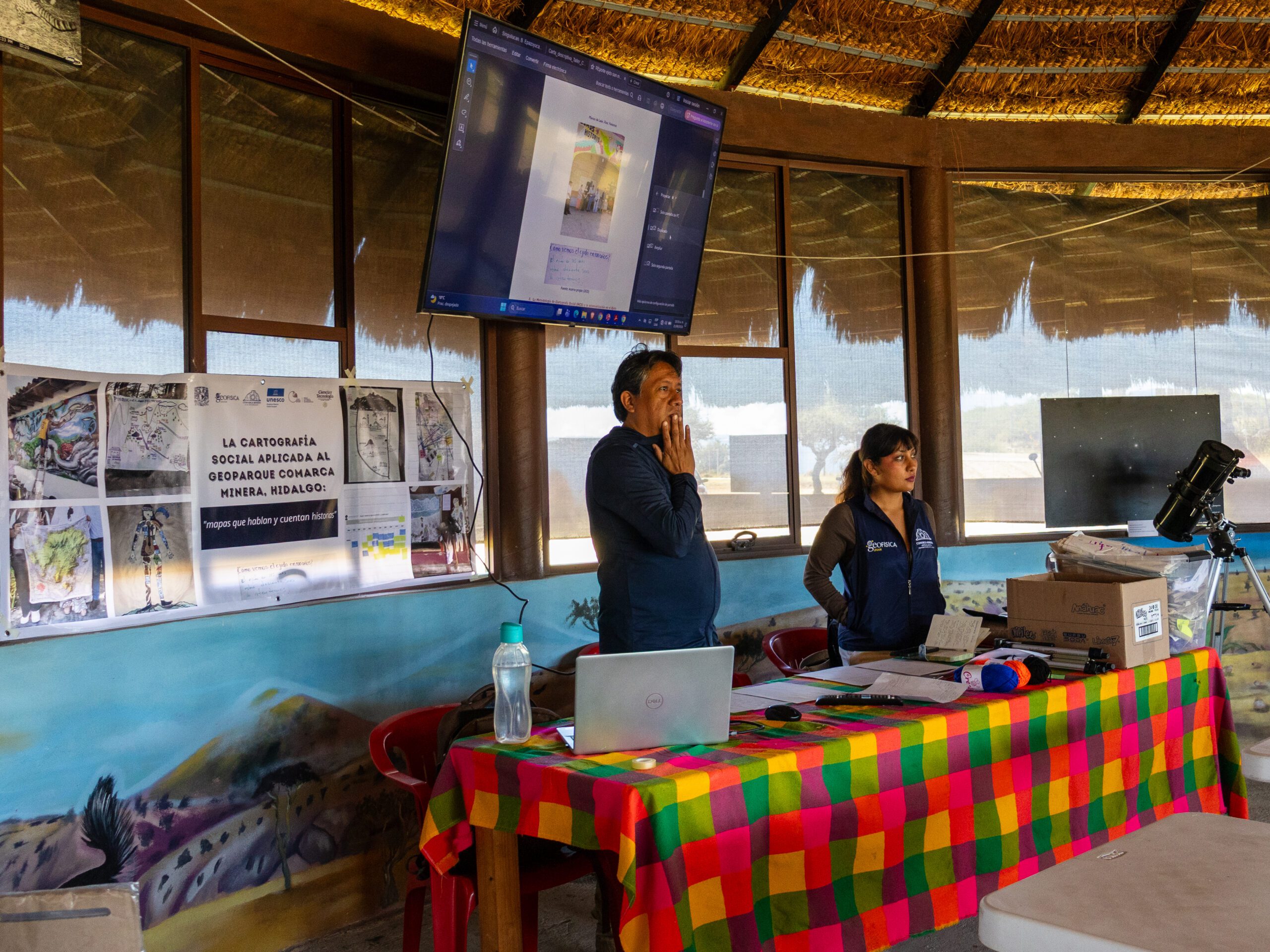
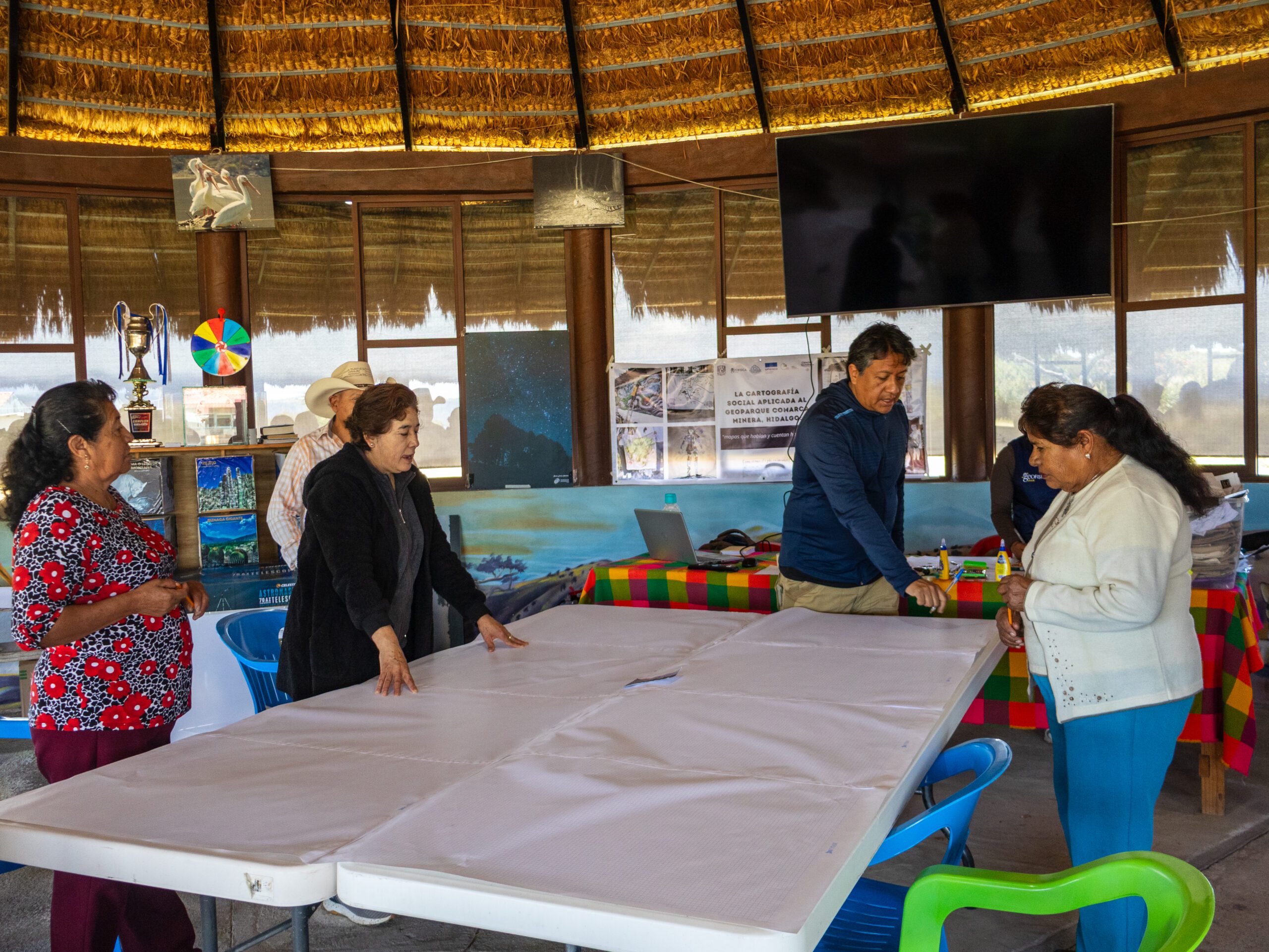
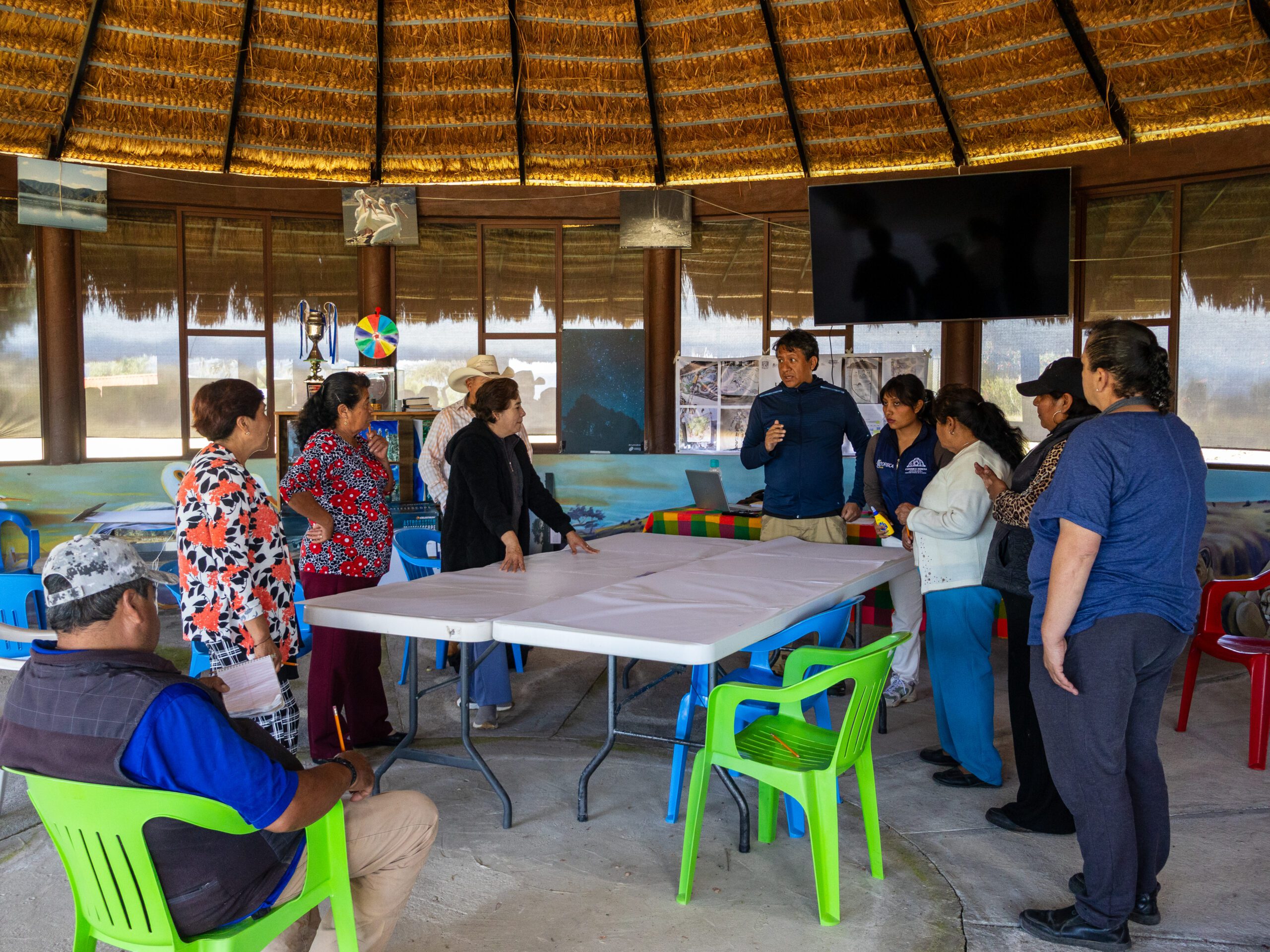
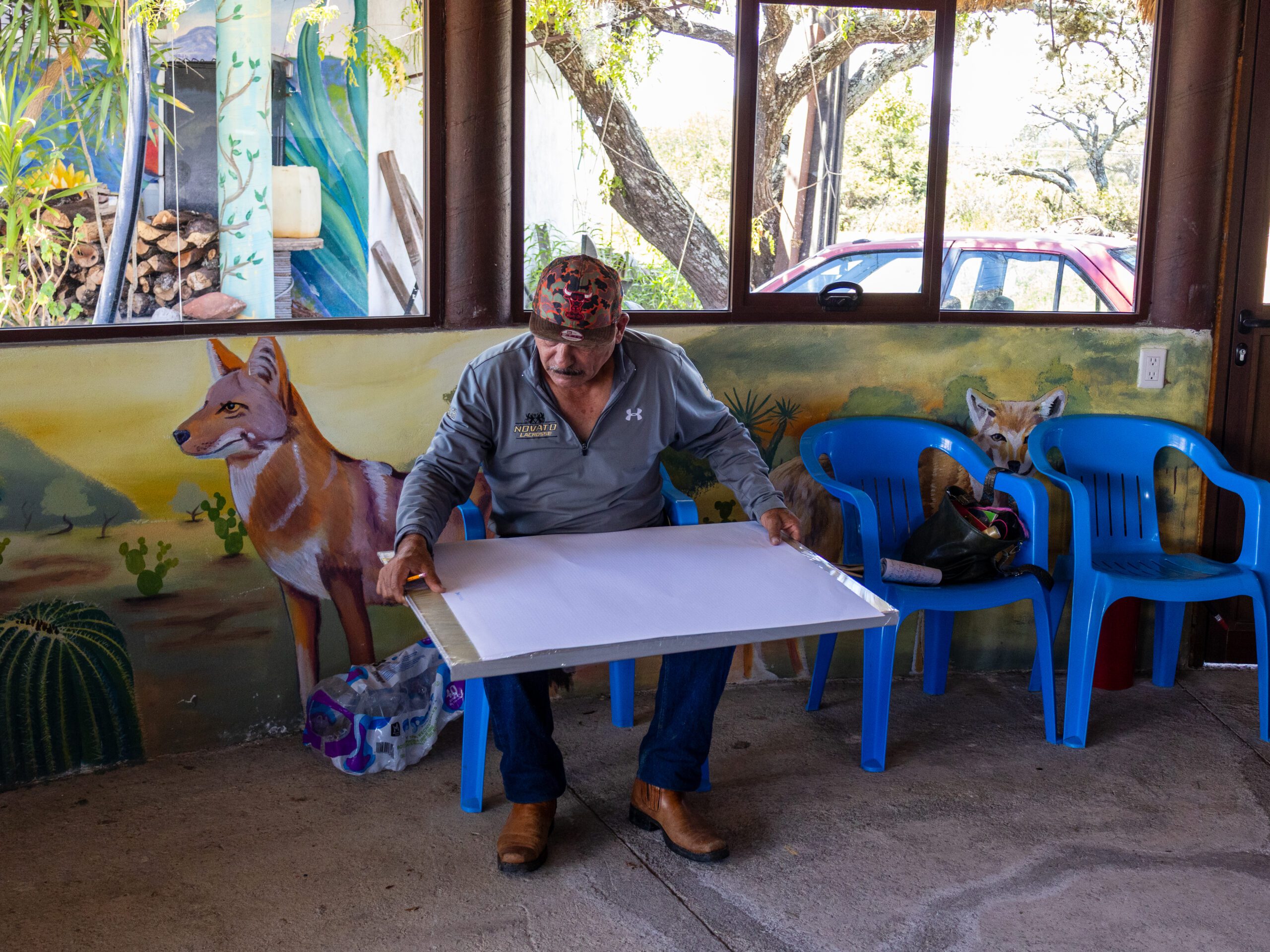
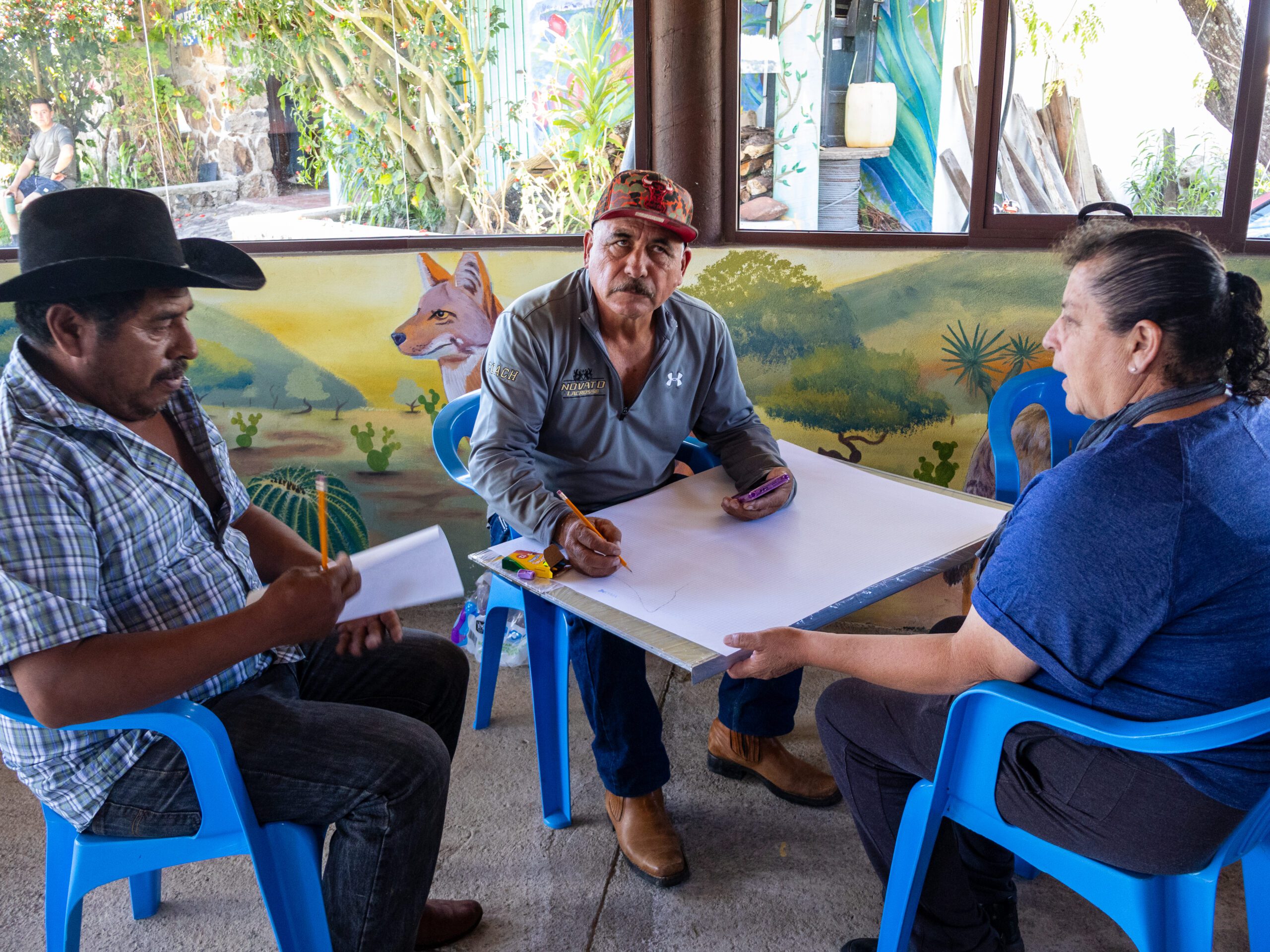
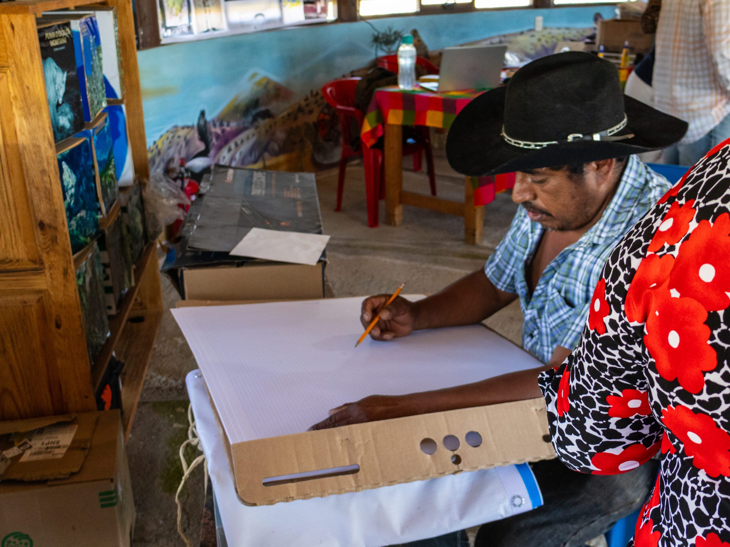
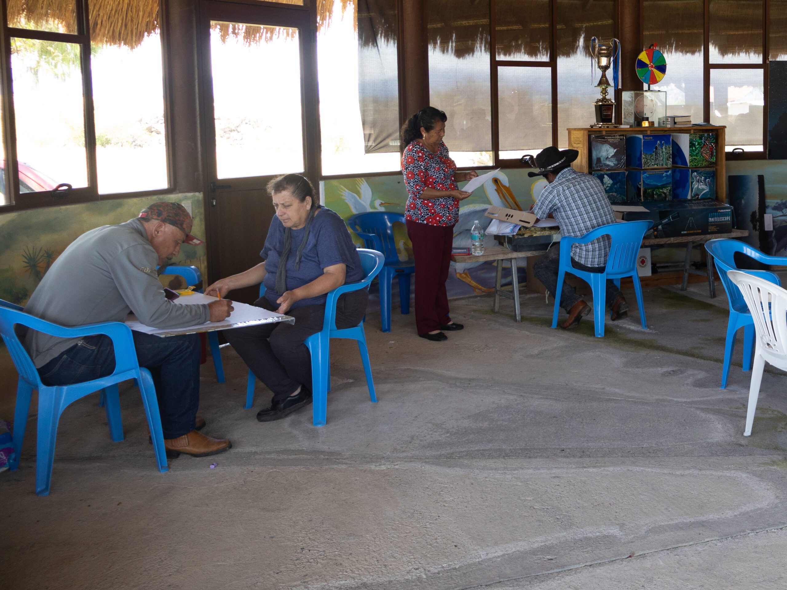
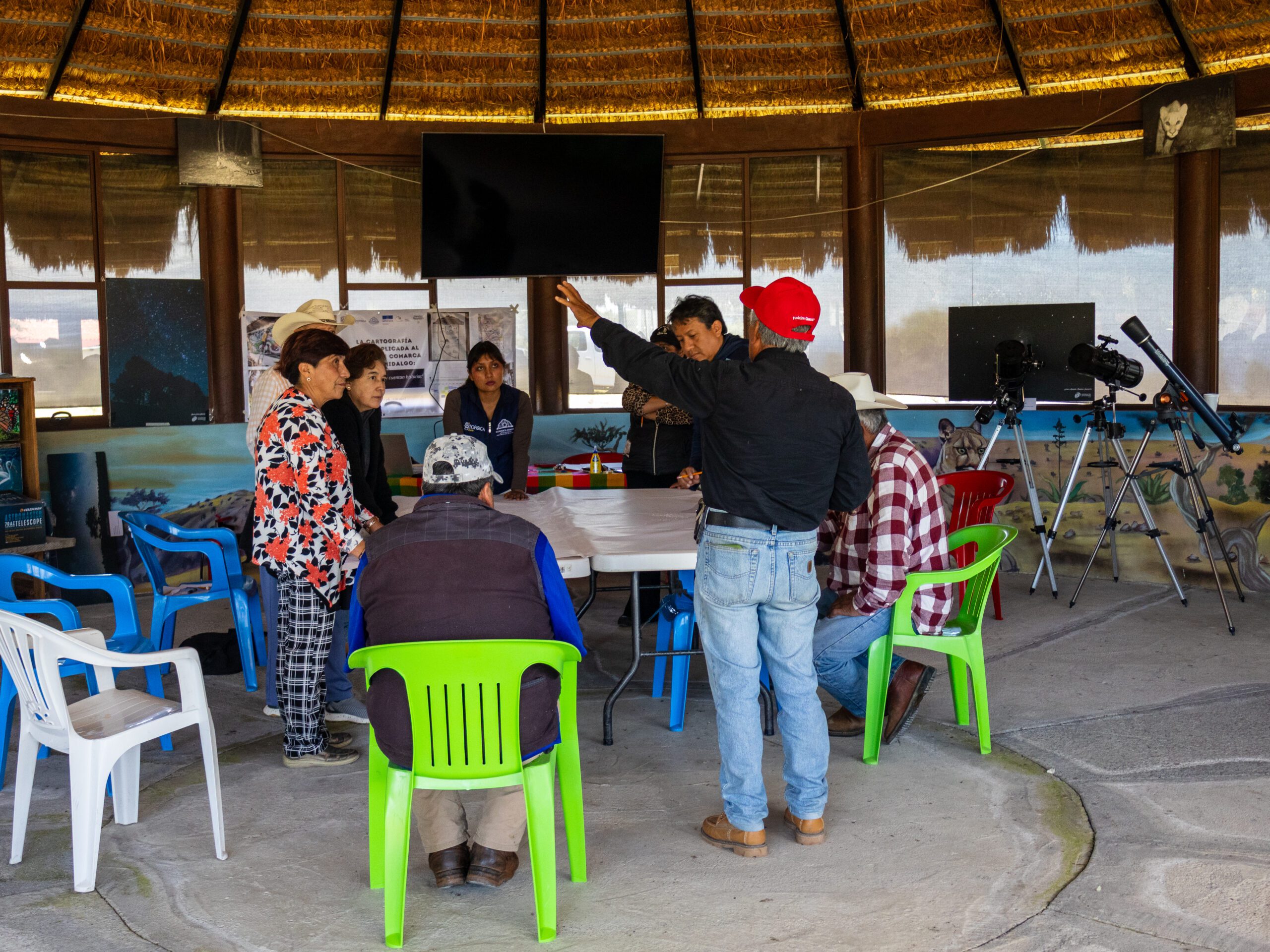
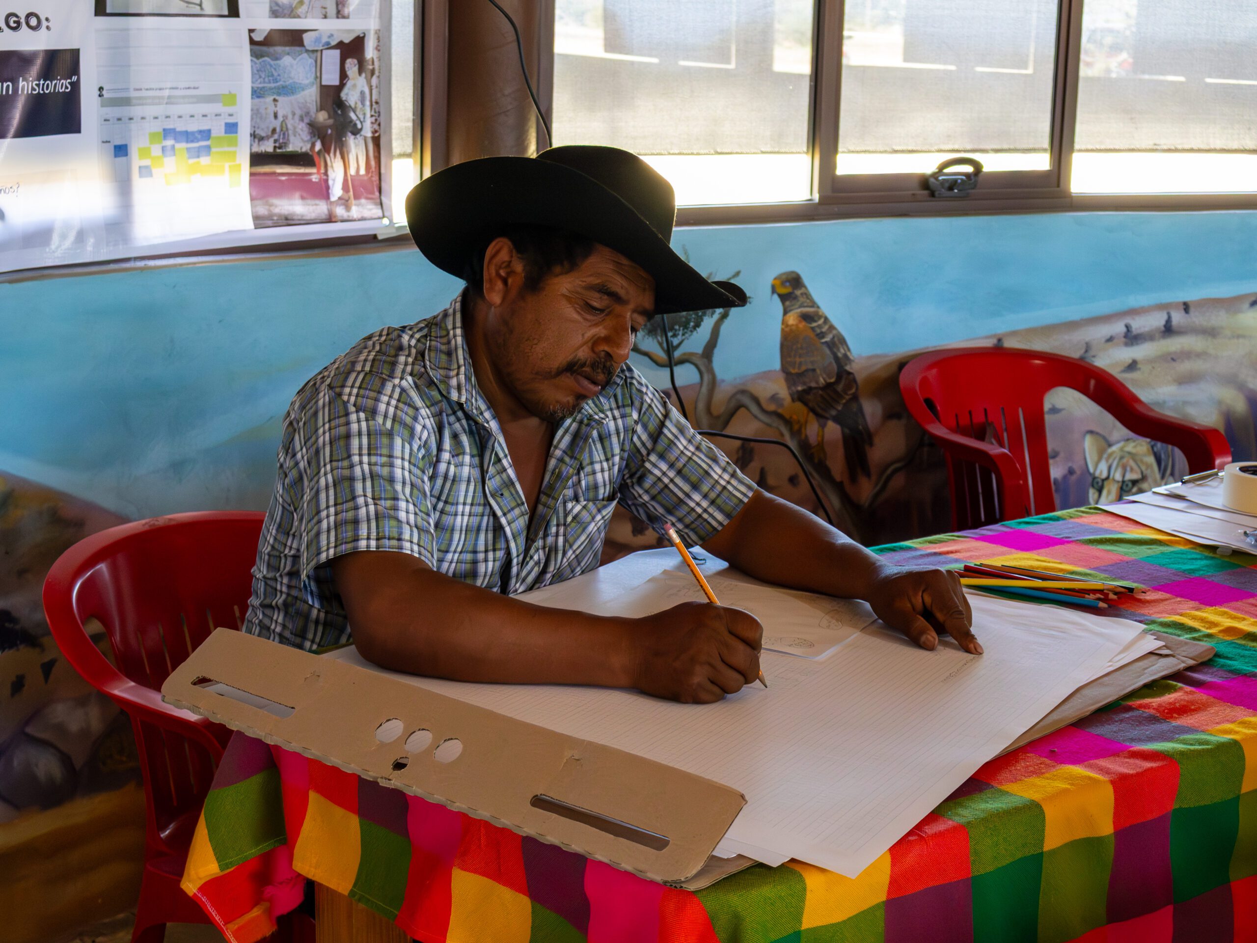
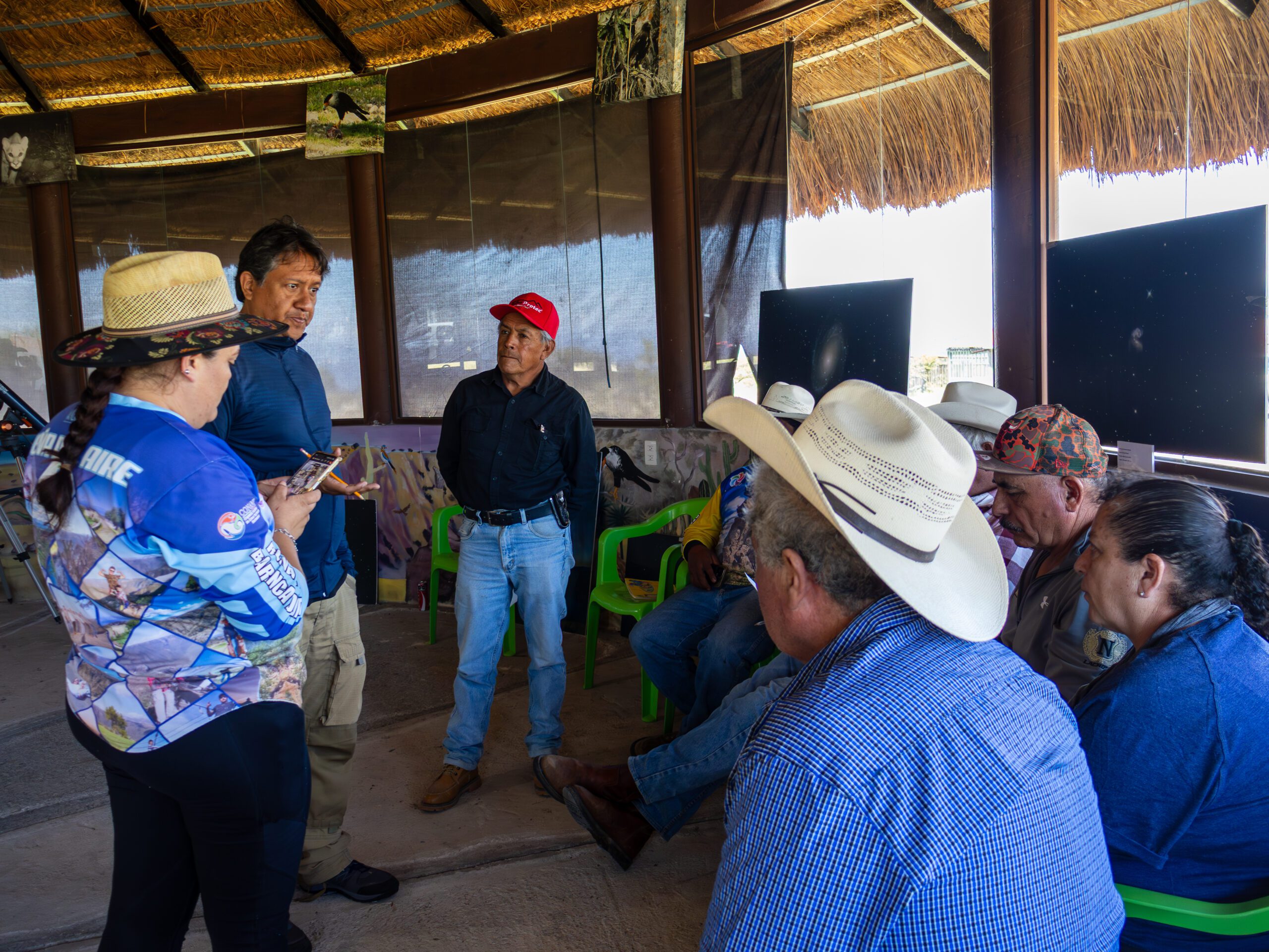
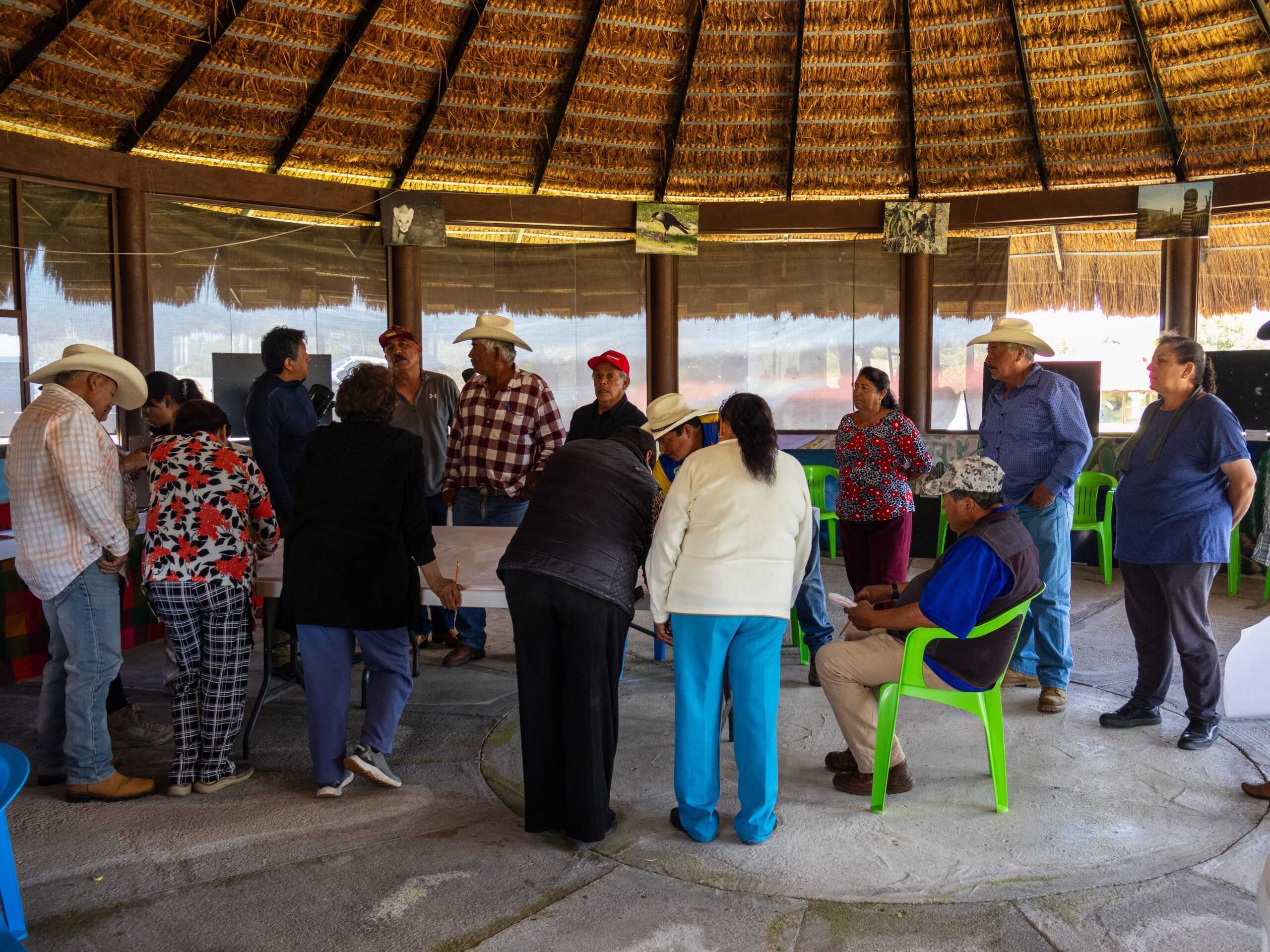
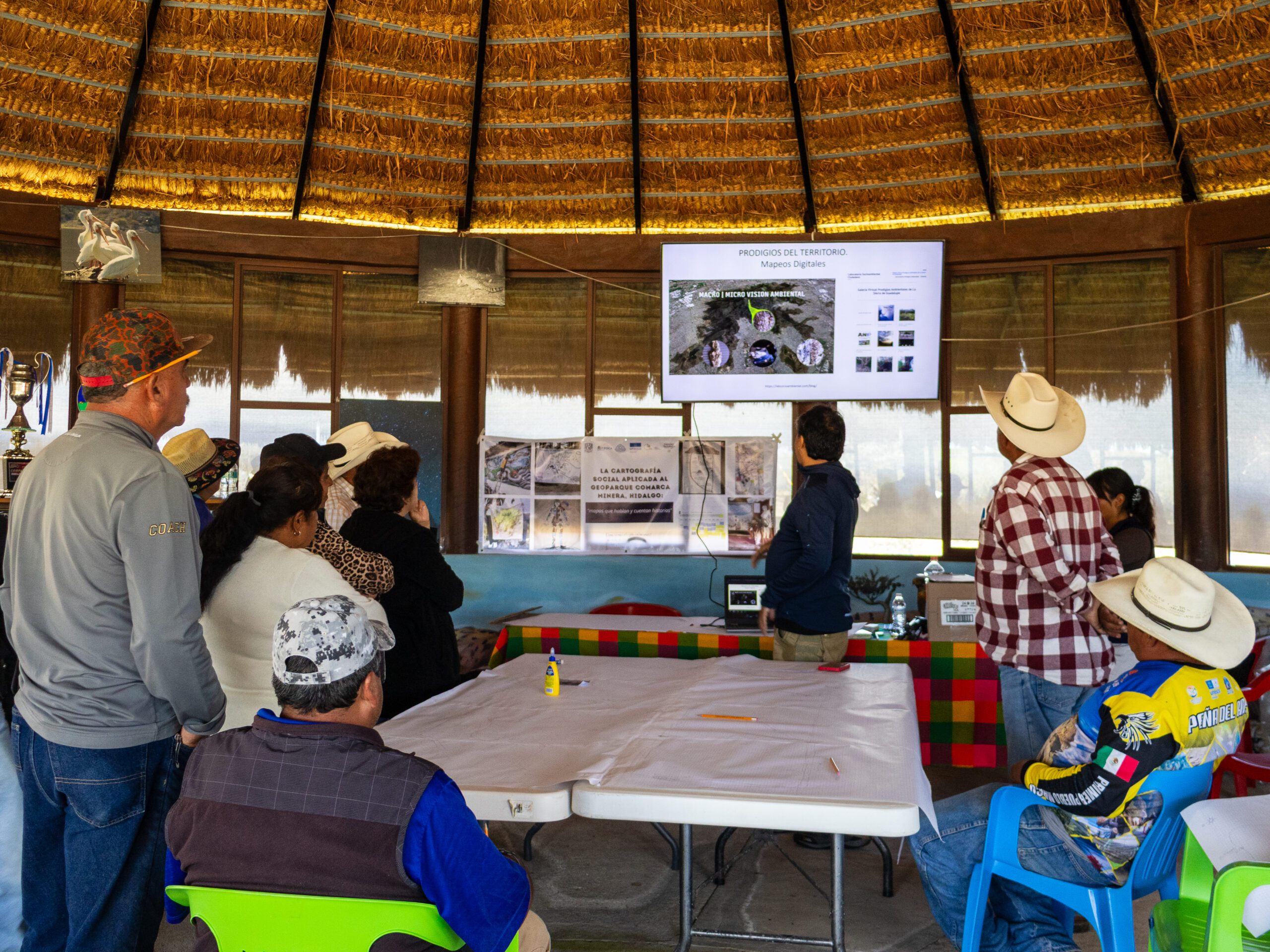
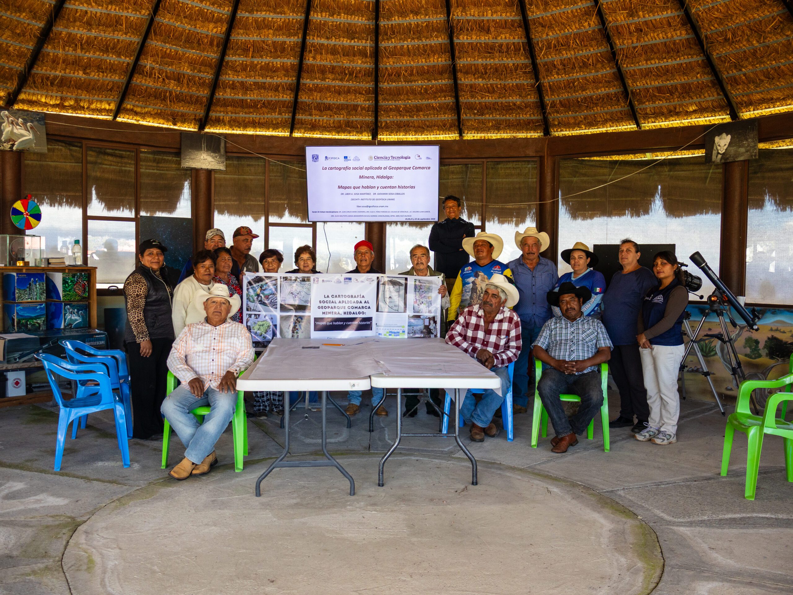
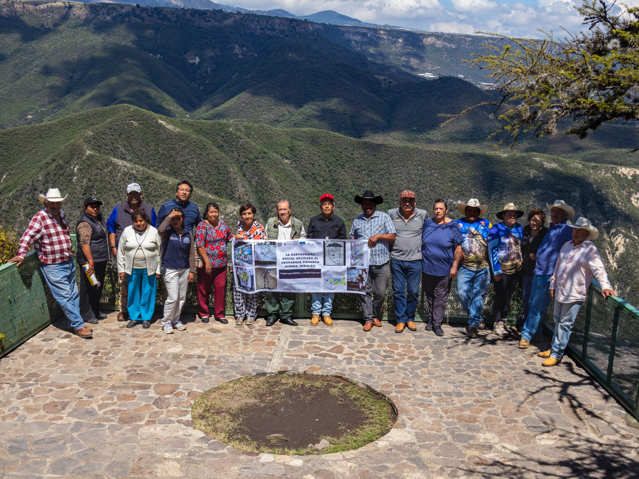
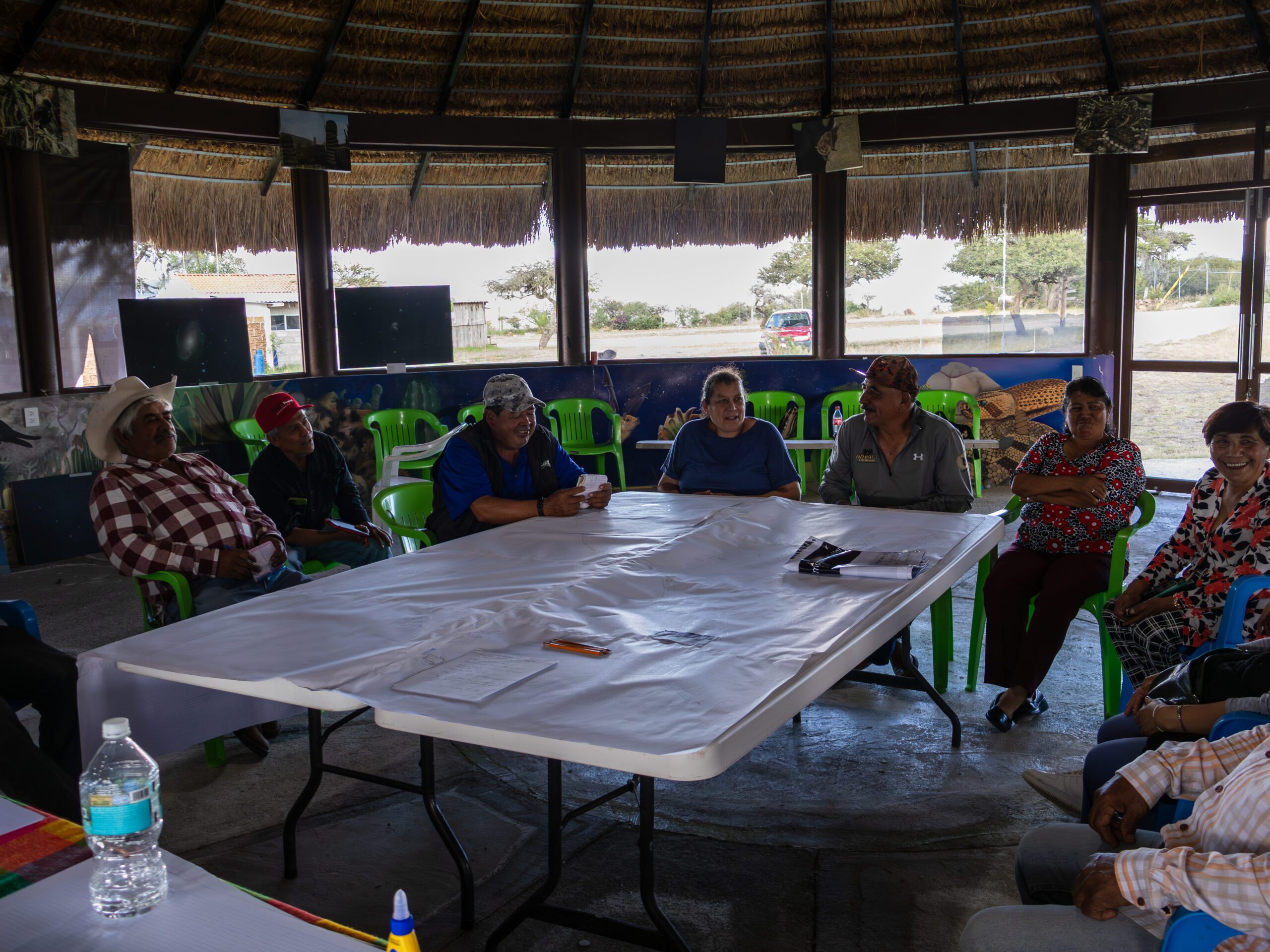
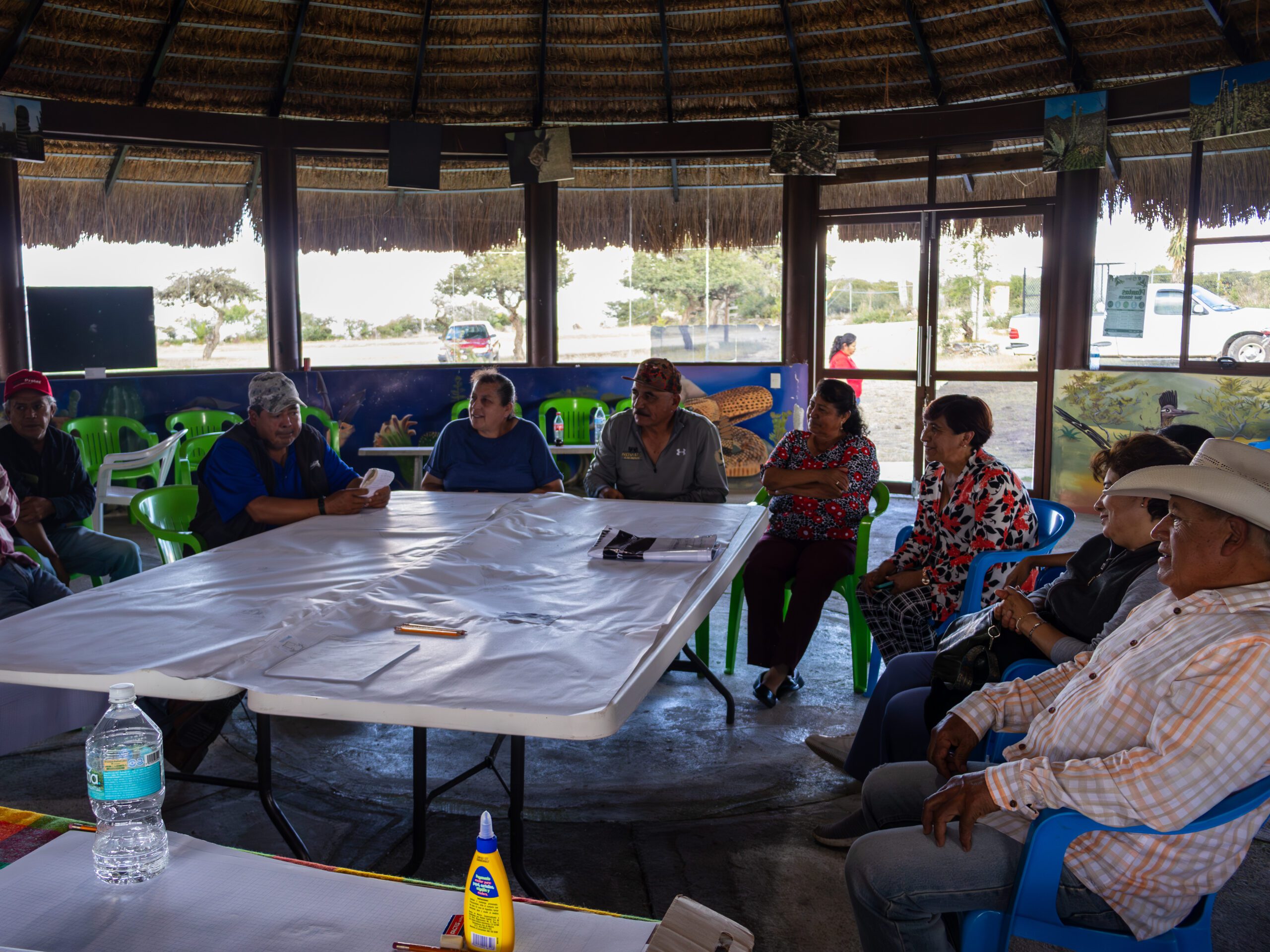
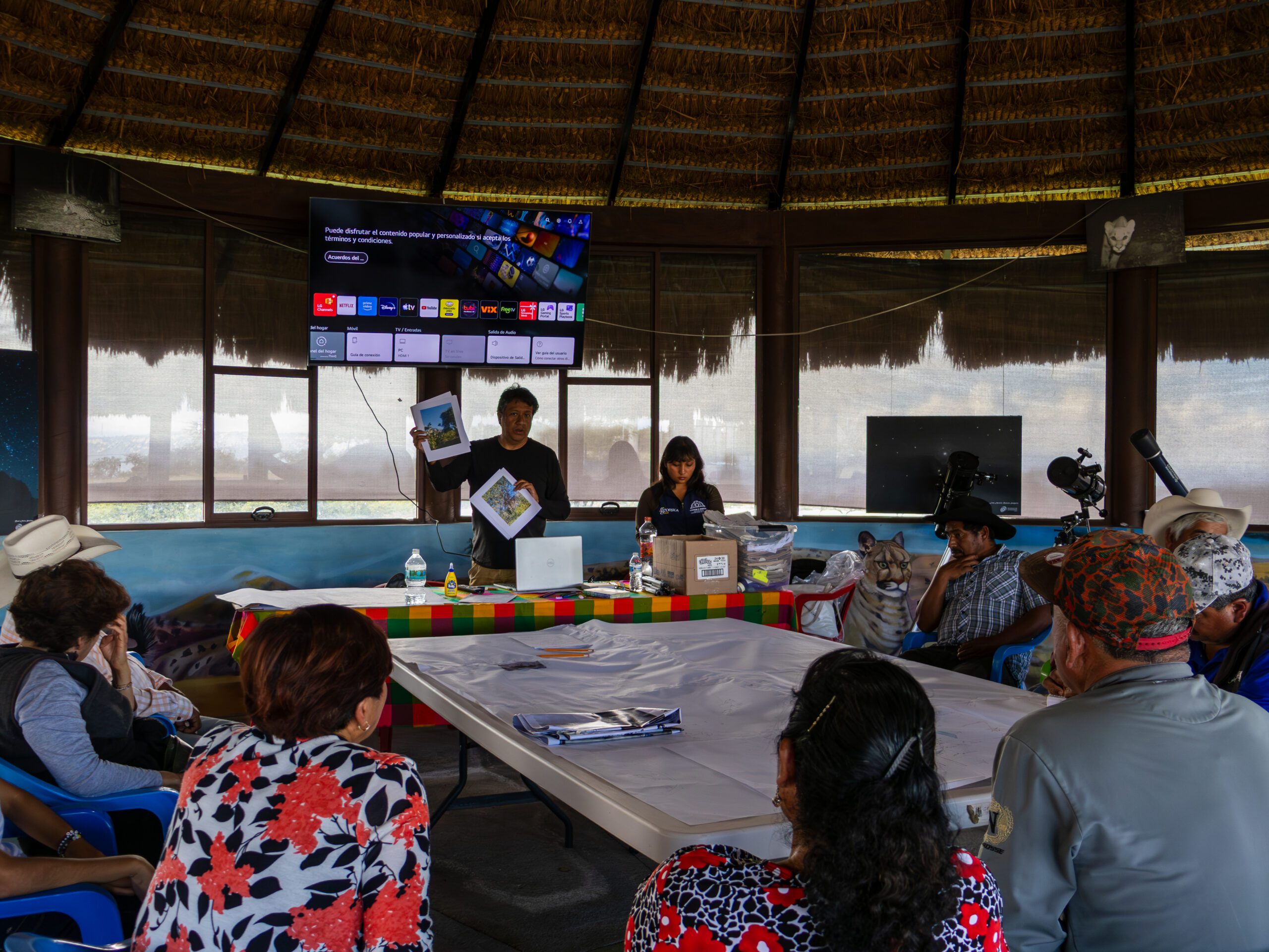
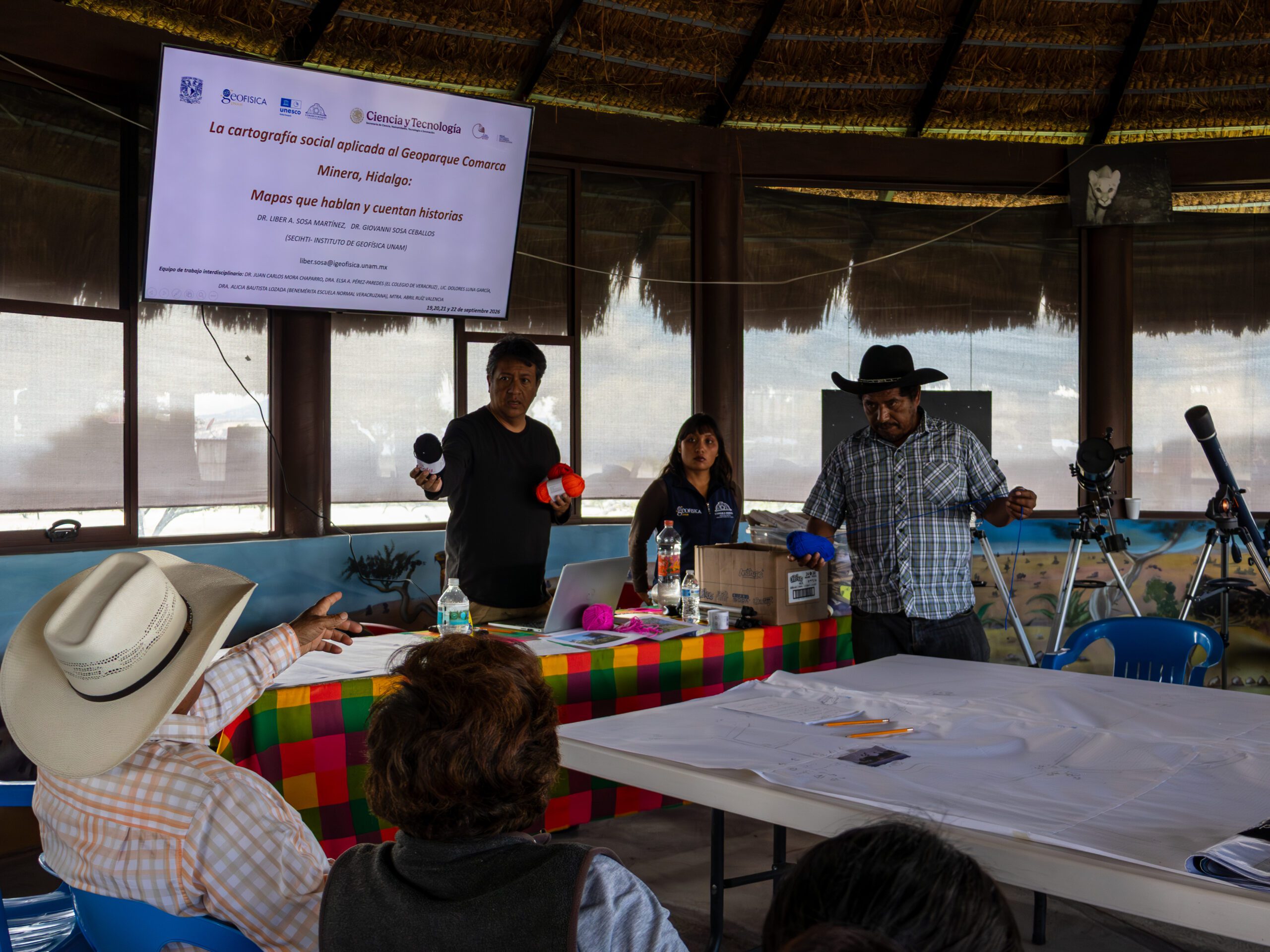
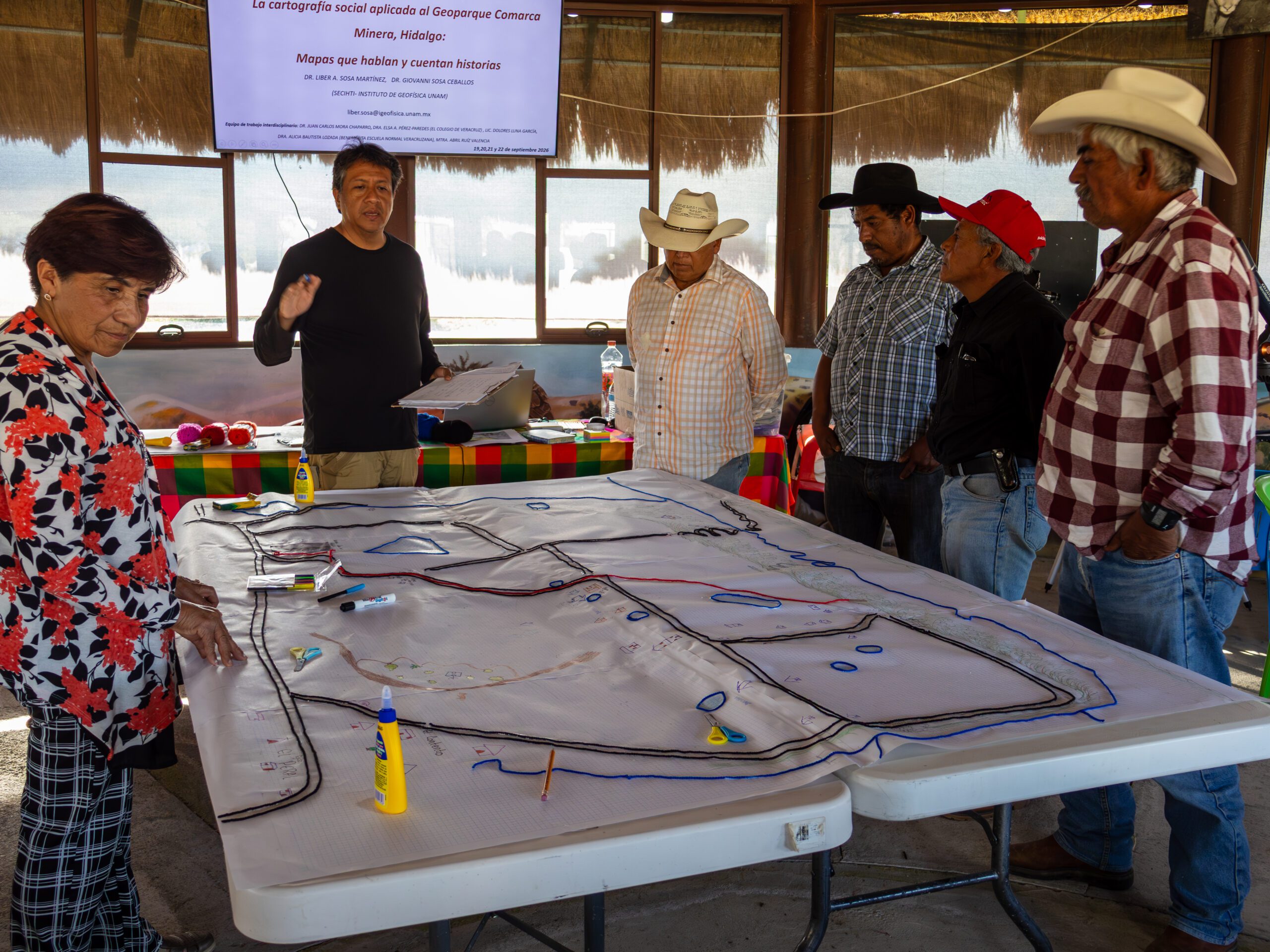
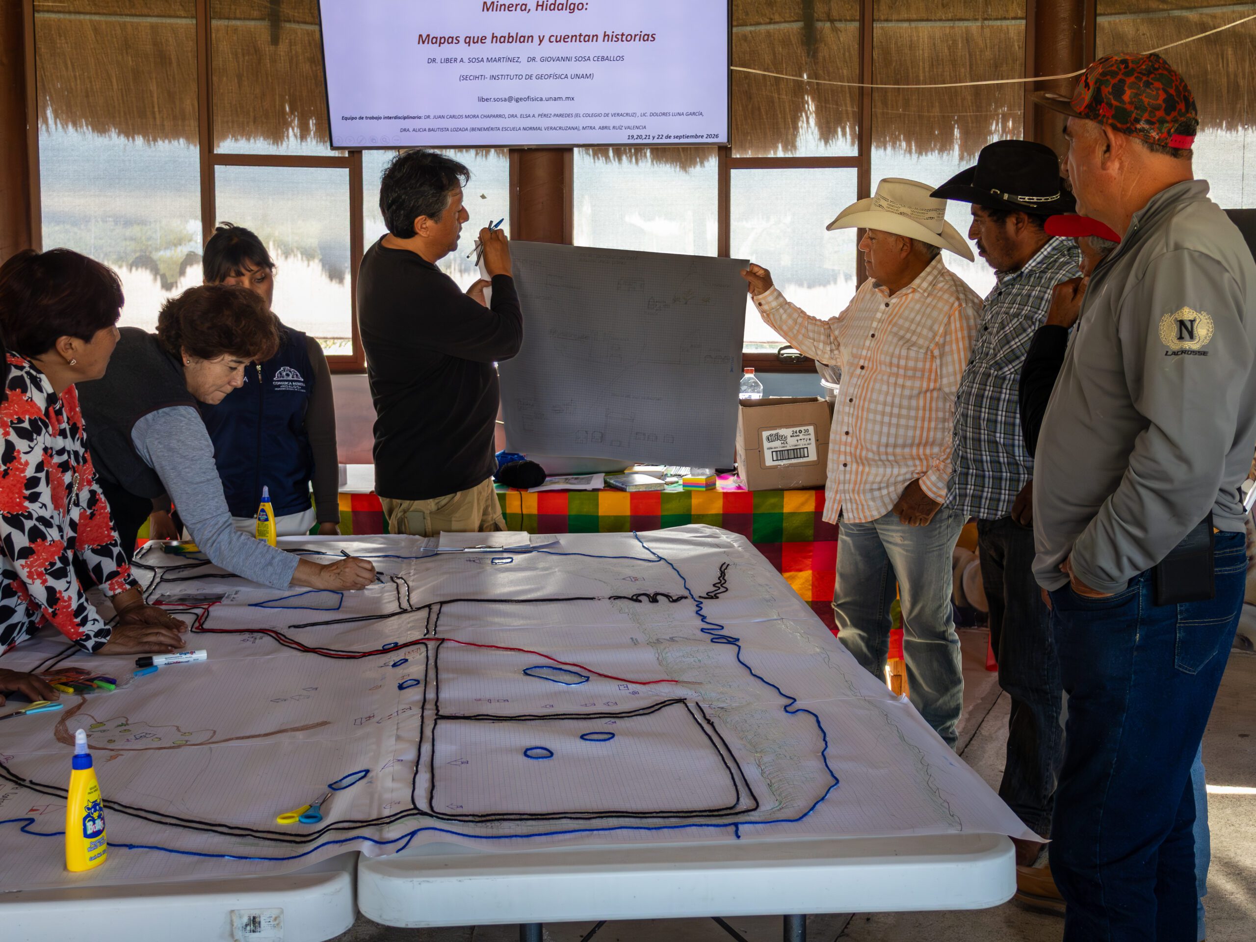
On September 19, 20, and 21, the Peña del Aire Geosite hosted the workshop “Social Cartography Applied to the Comarca Minera Geopark, Hidalgo: Maps That Speak and Tell Stories,” an initiative designed by Dr. Líber Antonio Sosa Martínez from UNAM’s Institute of Geophysics.
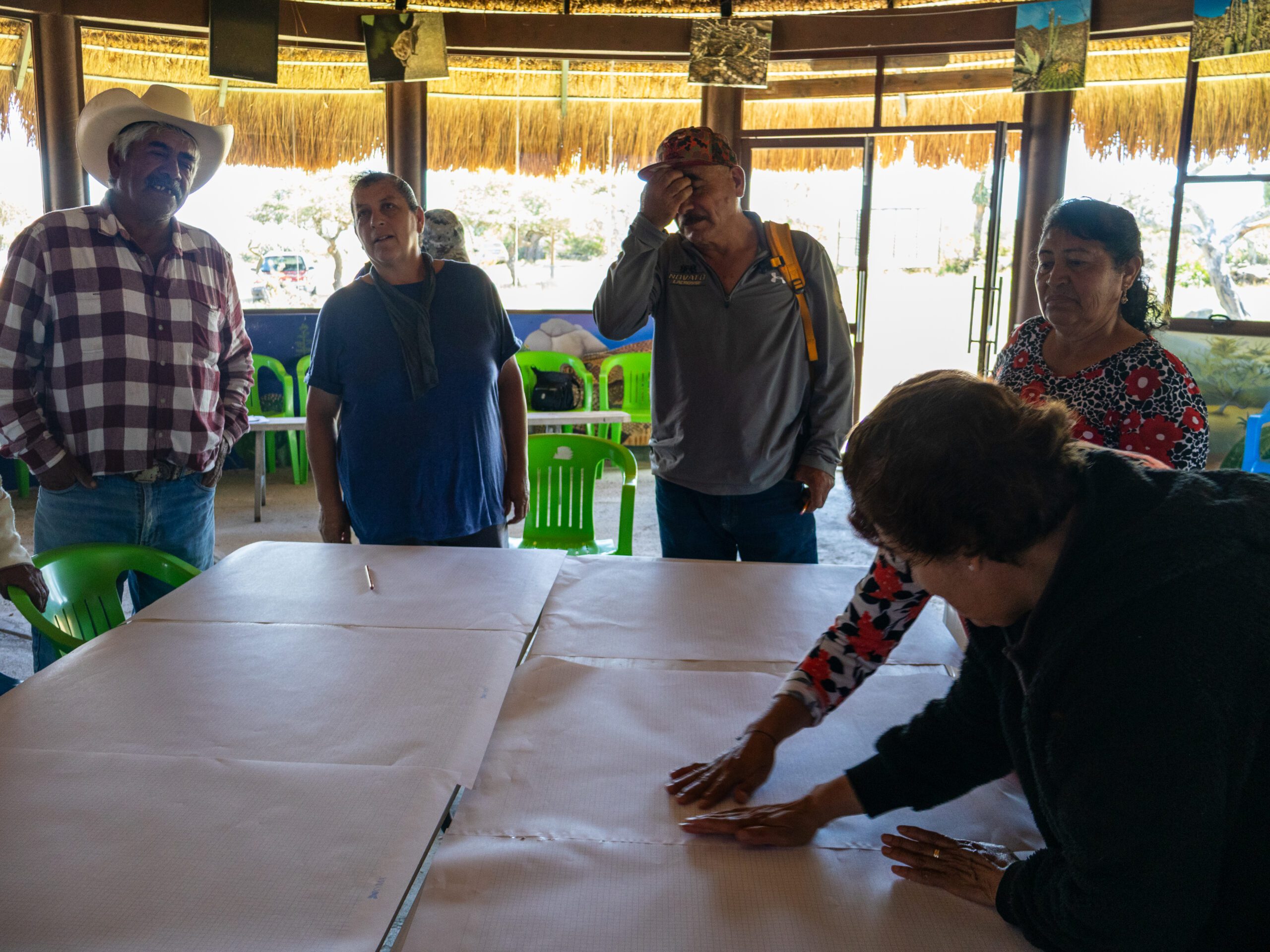
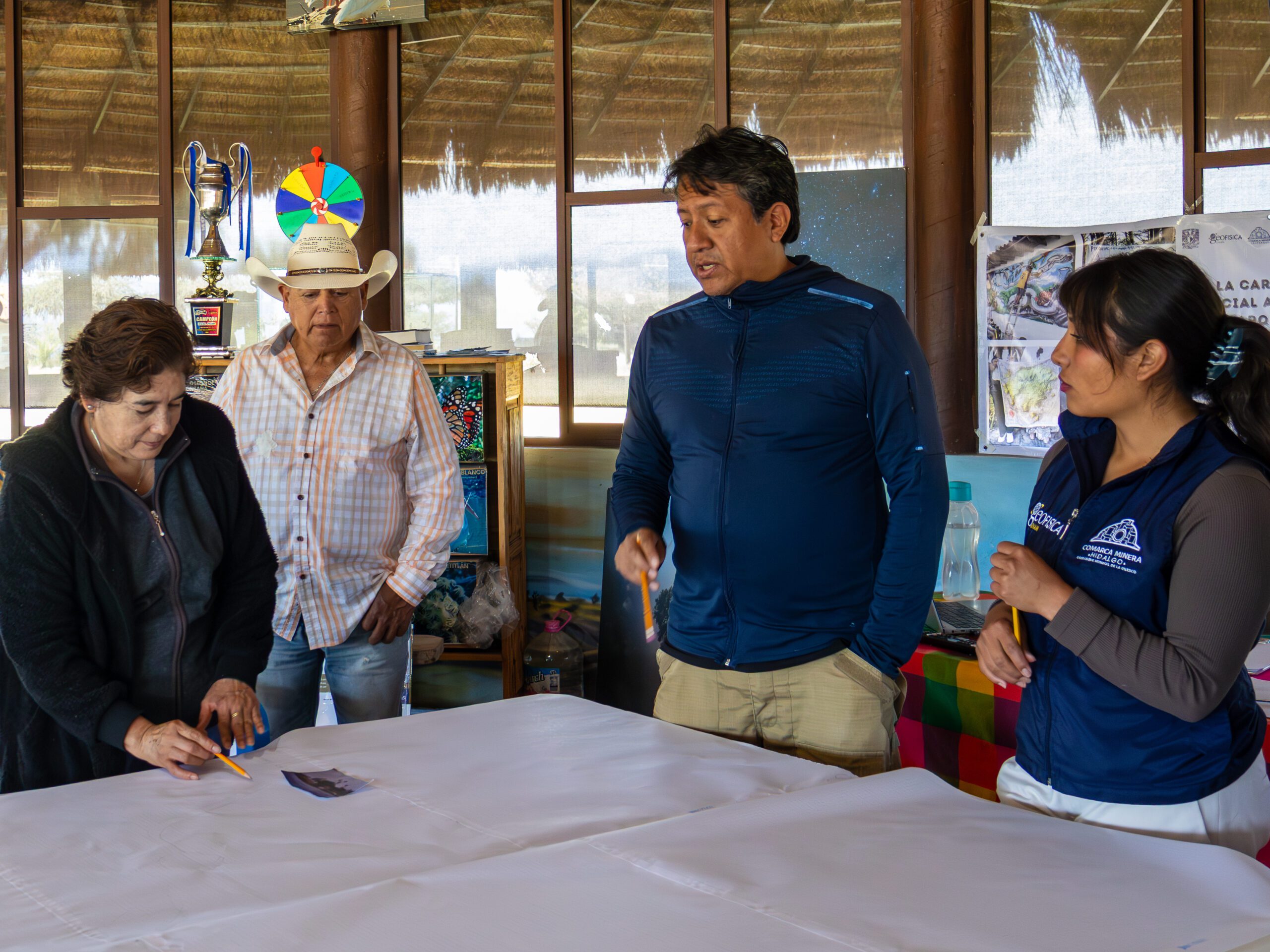
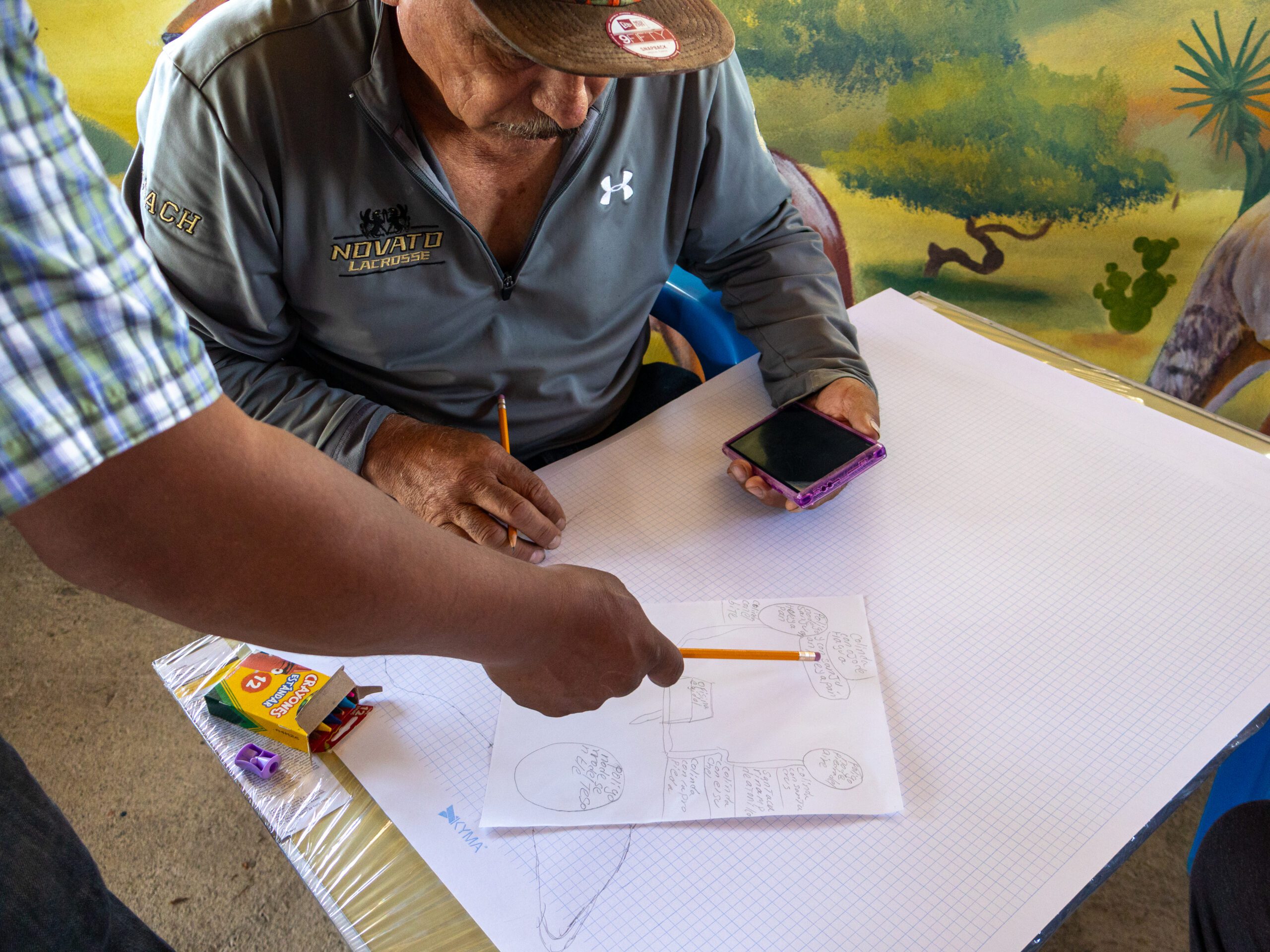
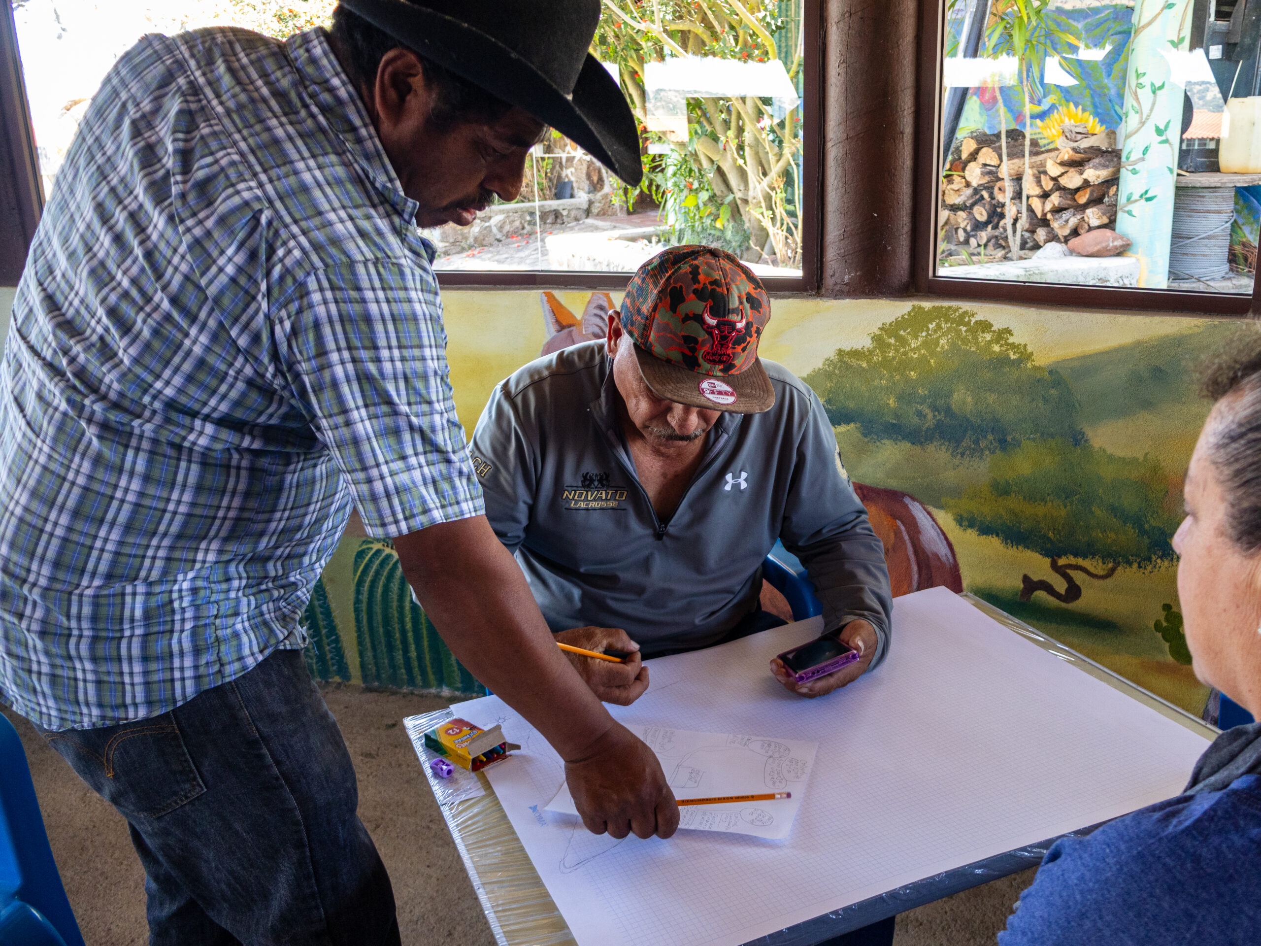
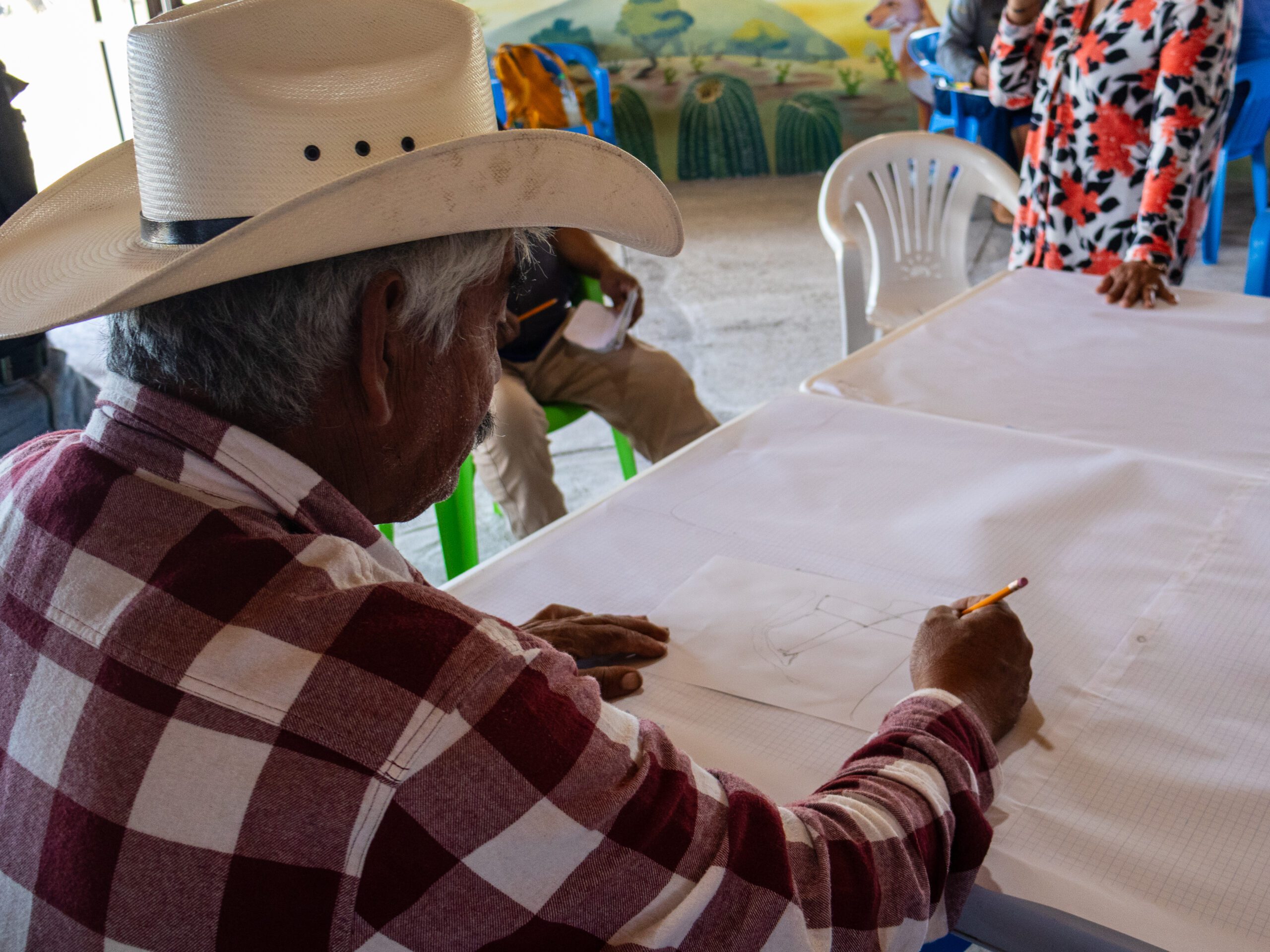
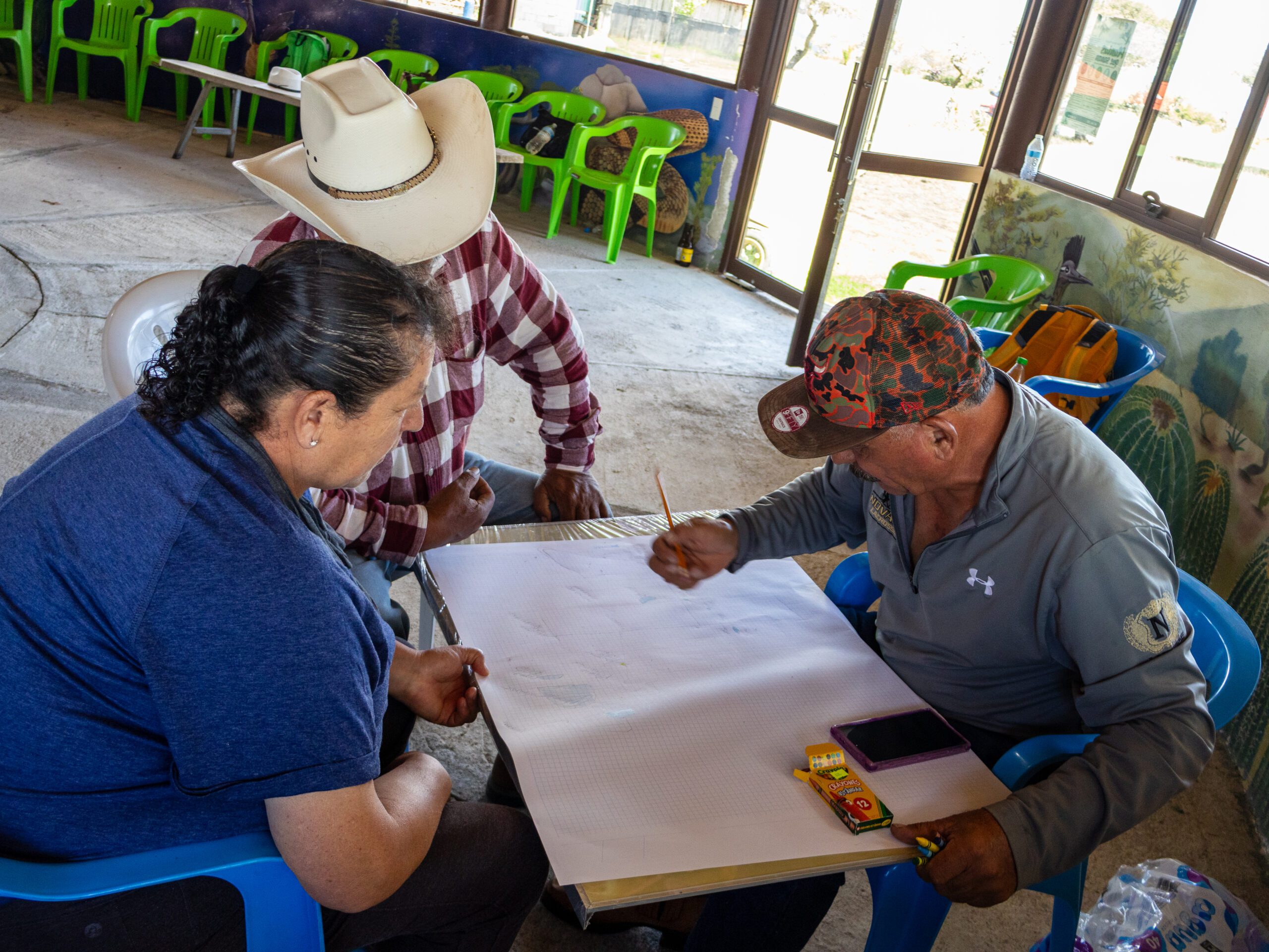
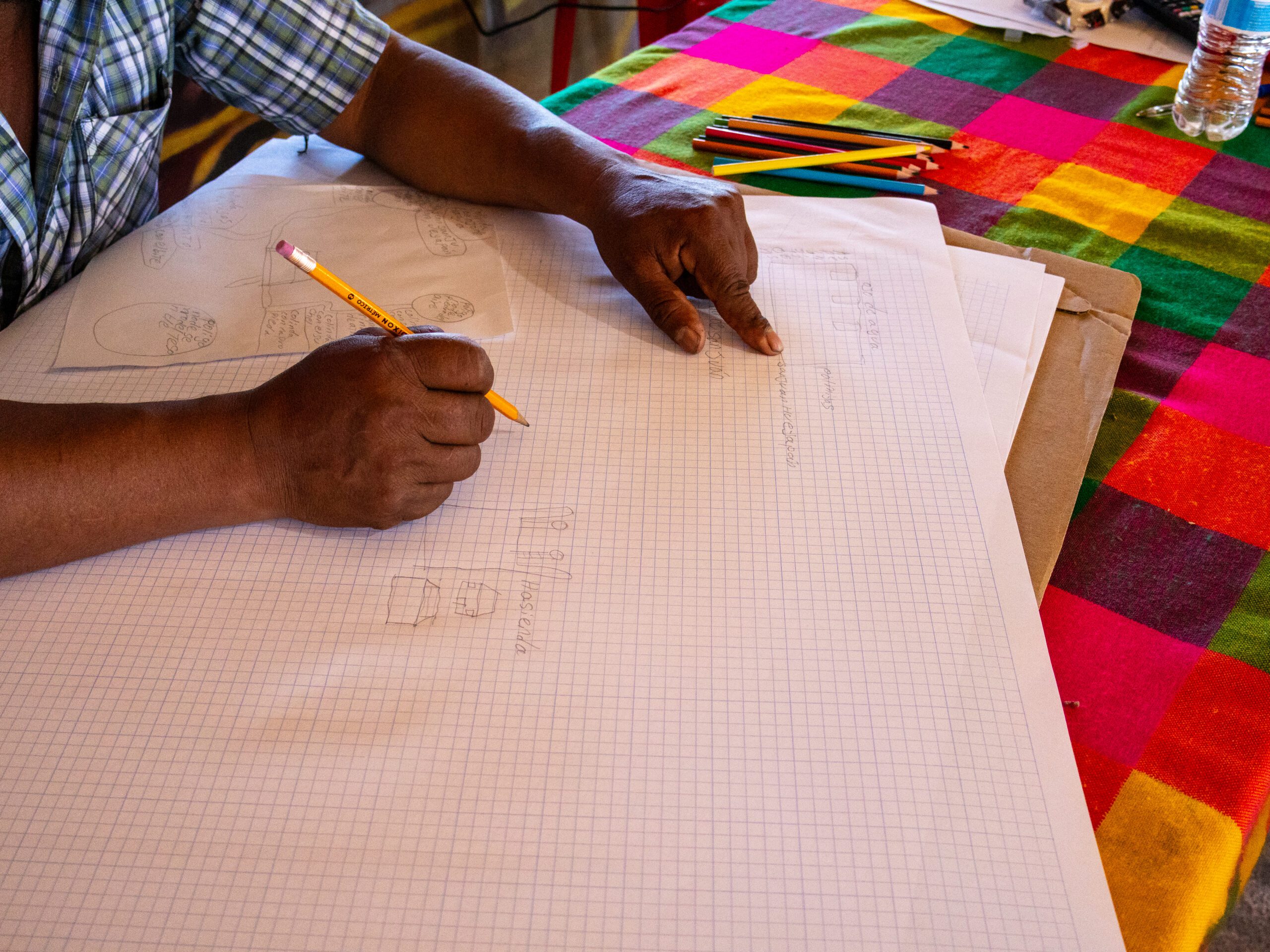
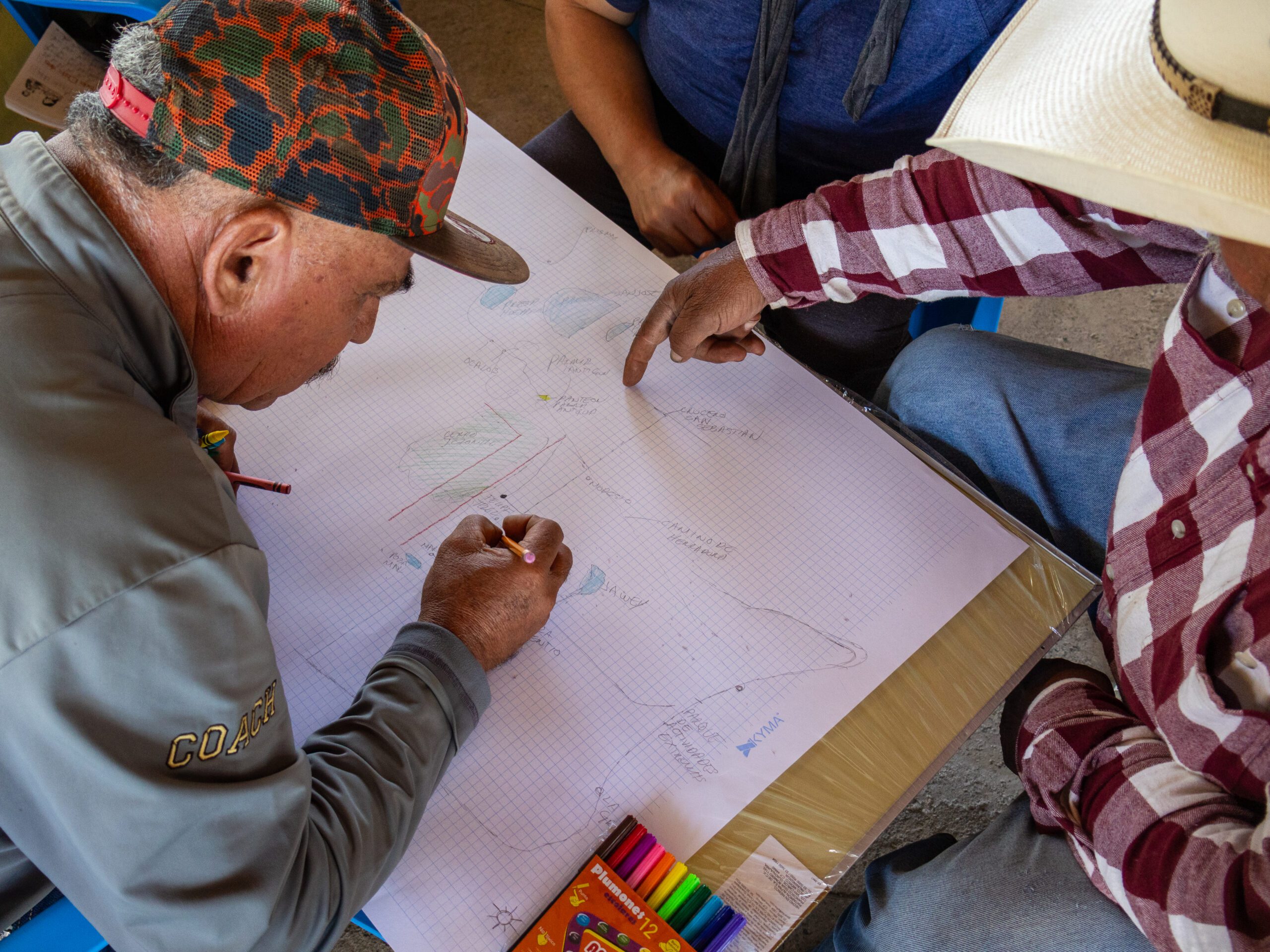
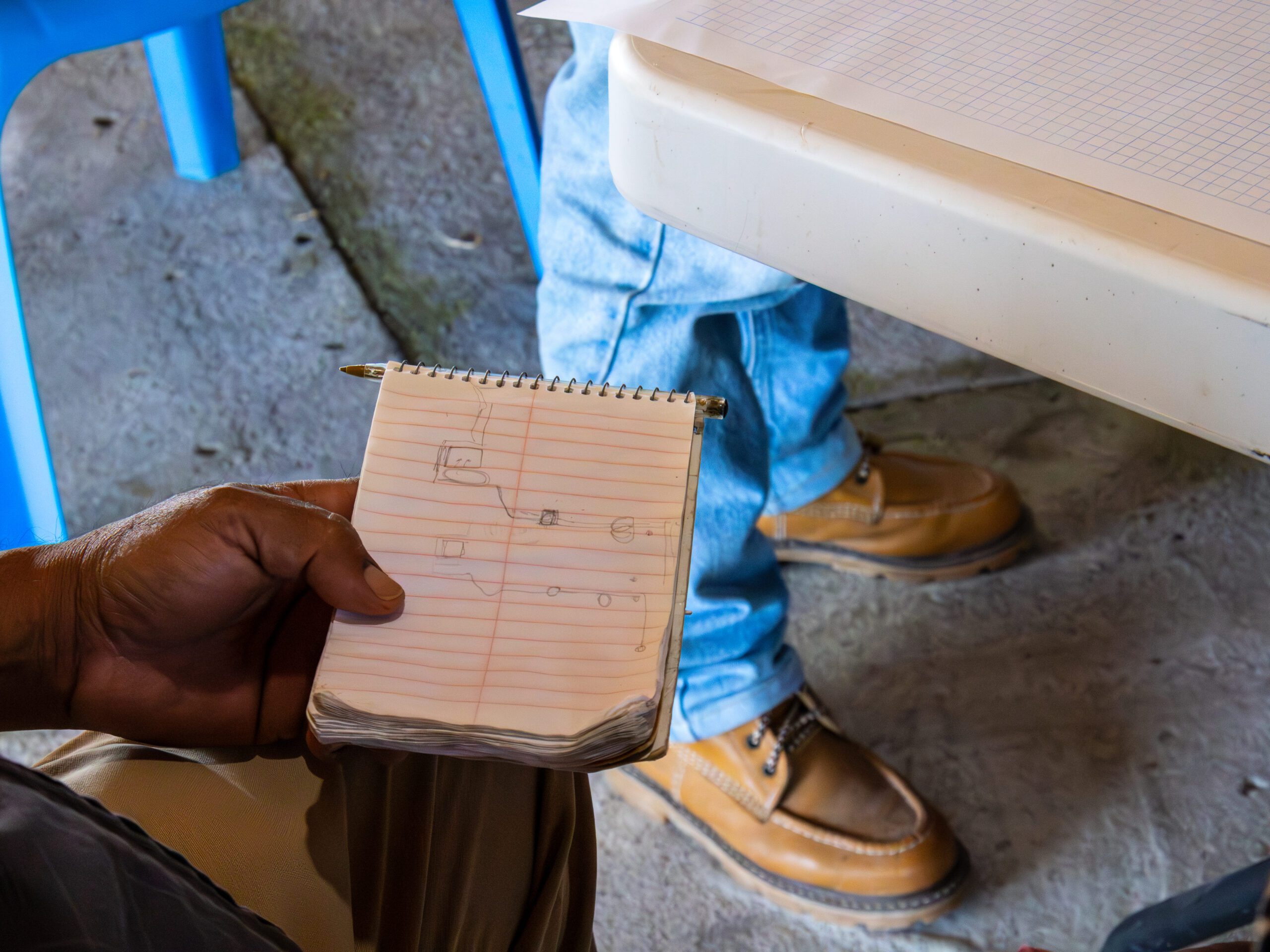
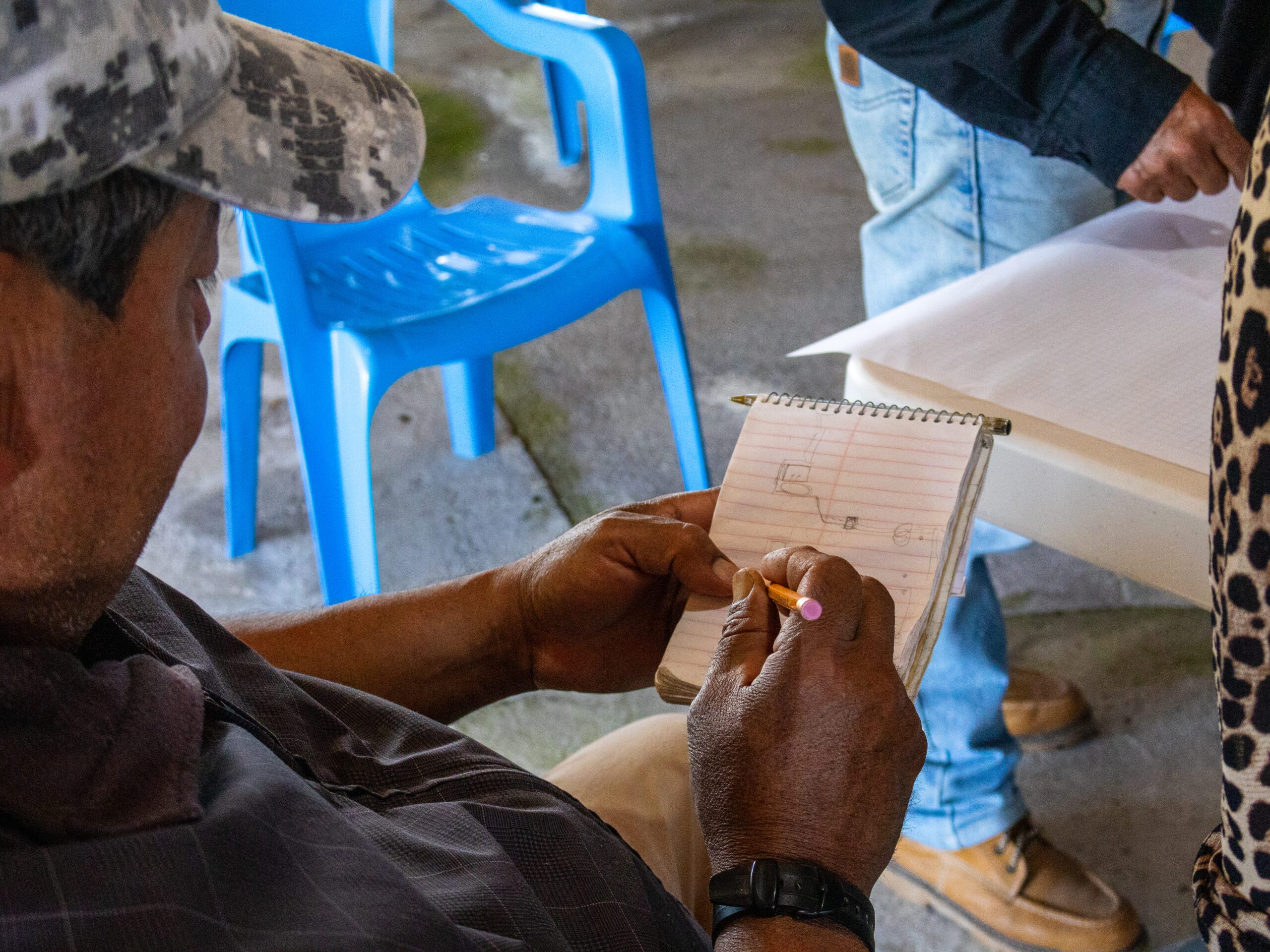
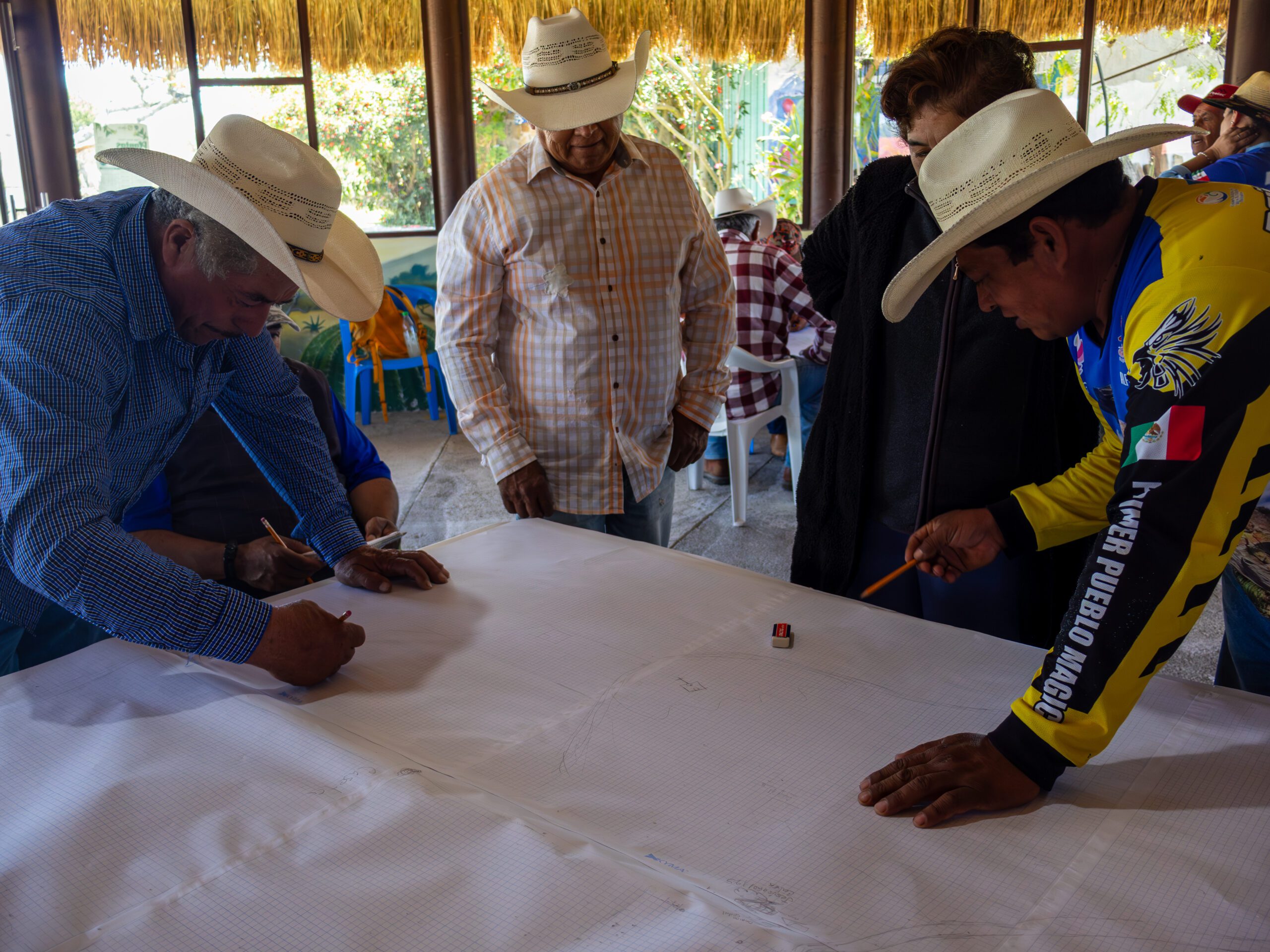
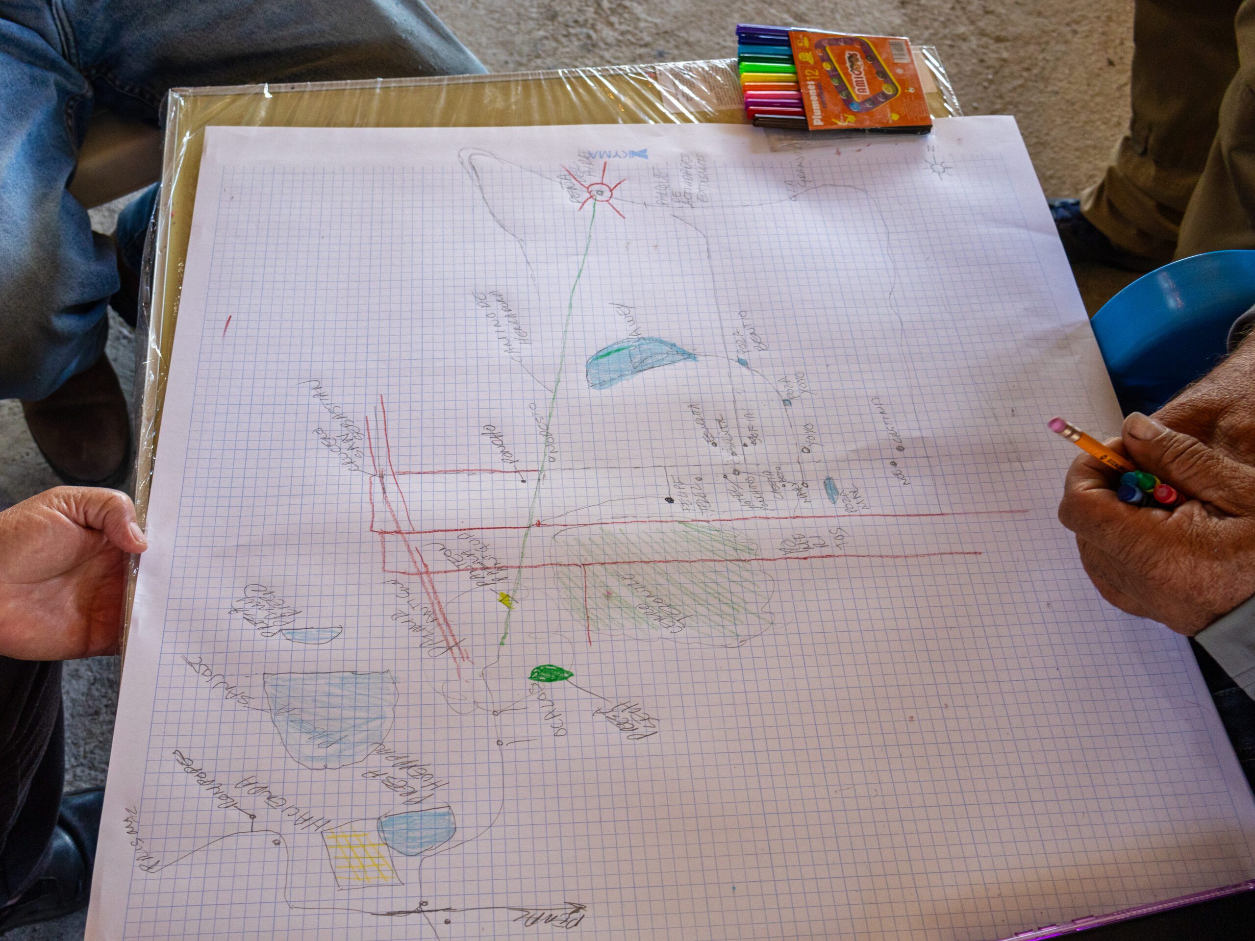
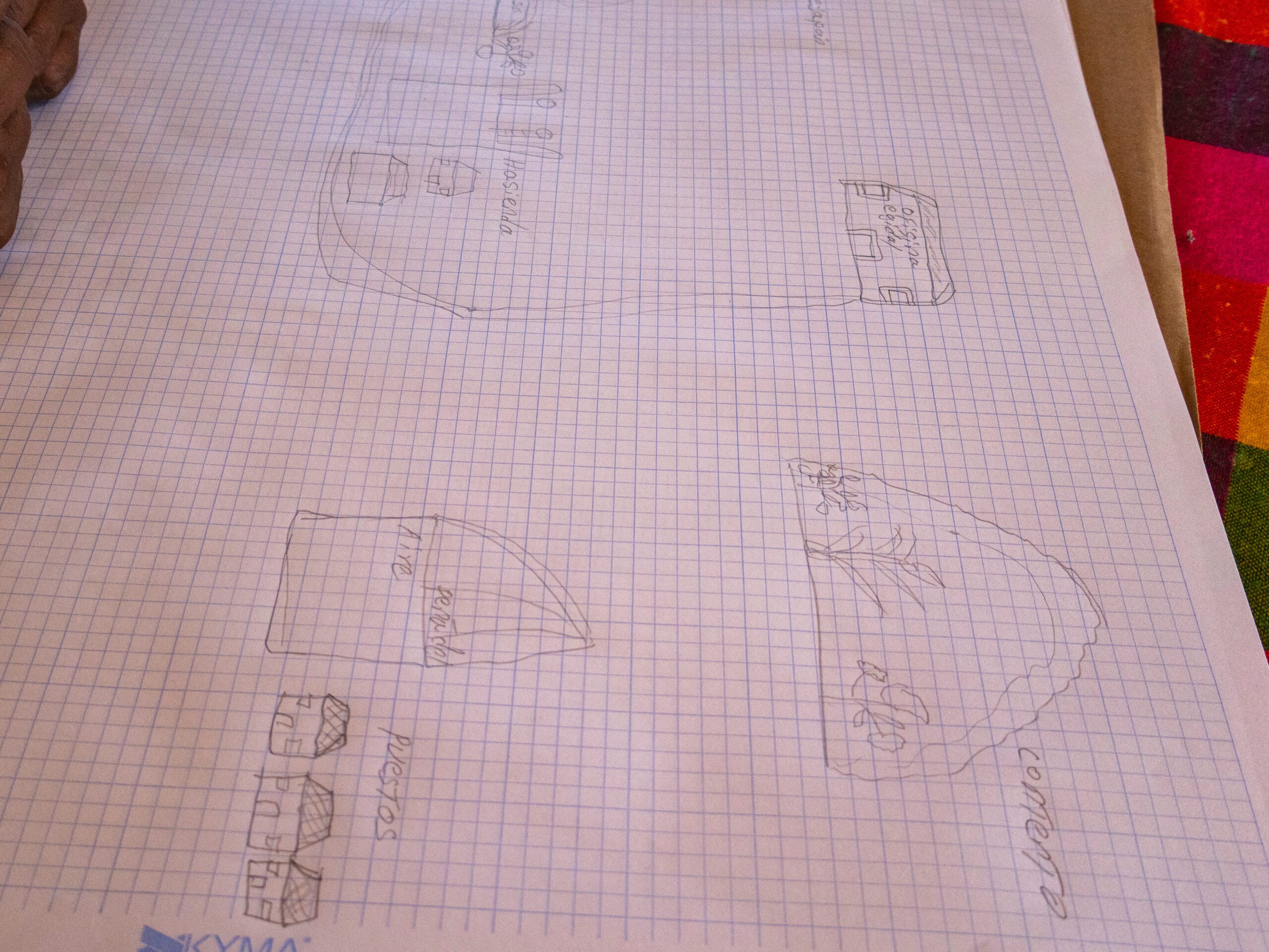
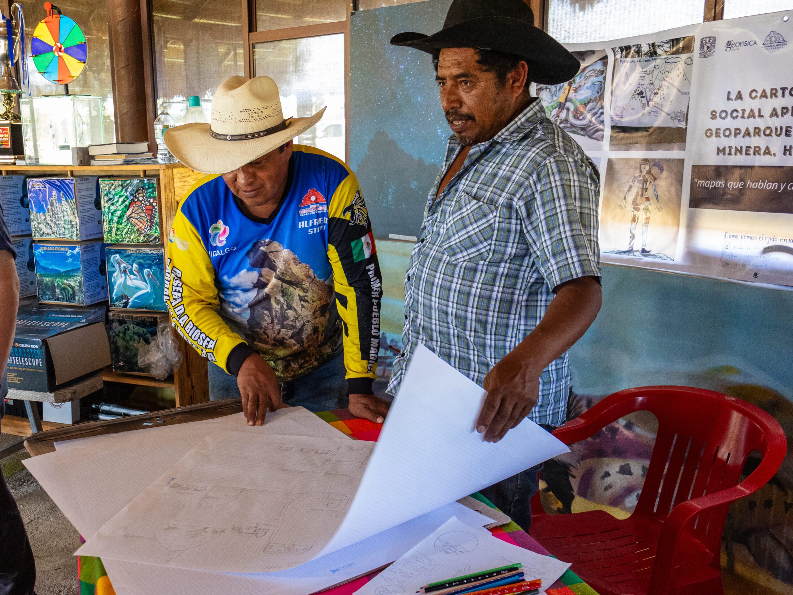
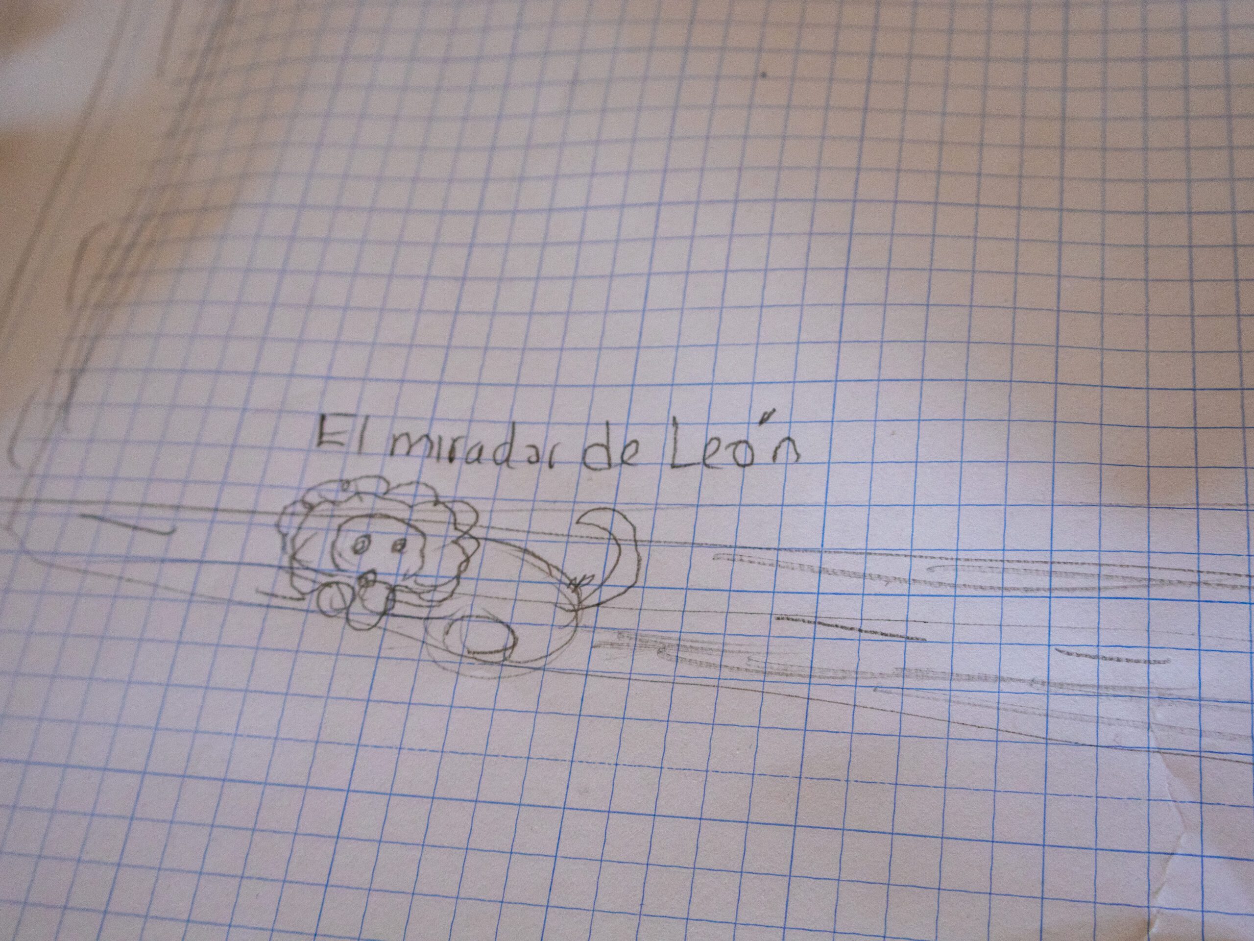
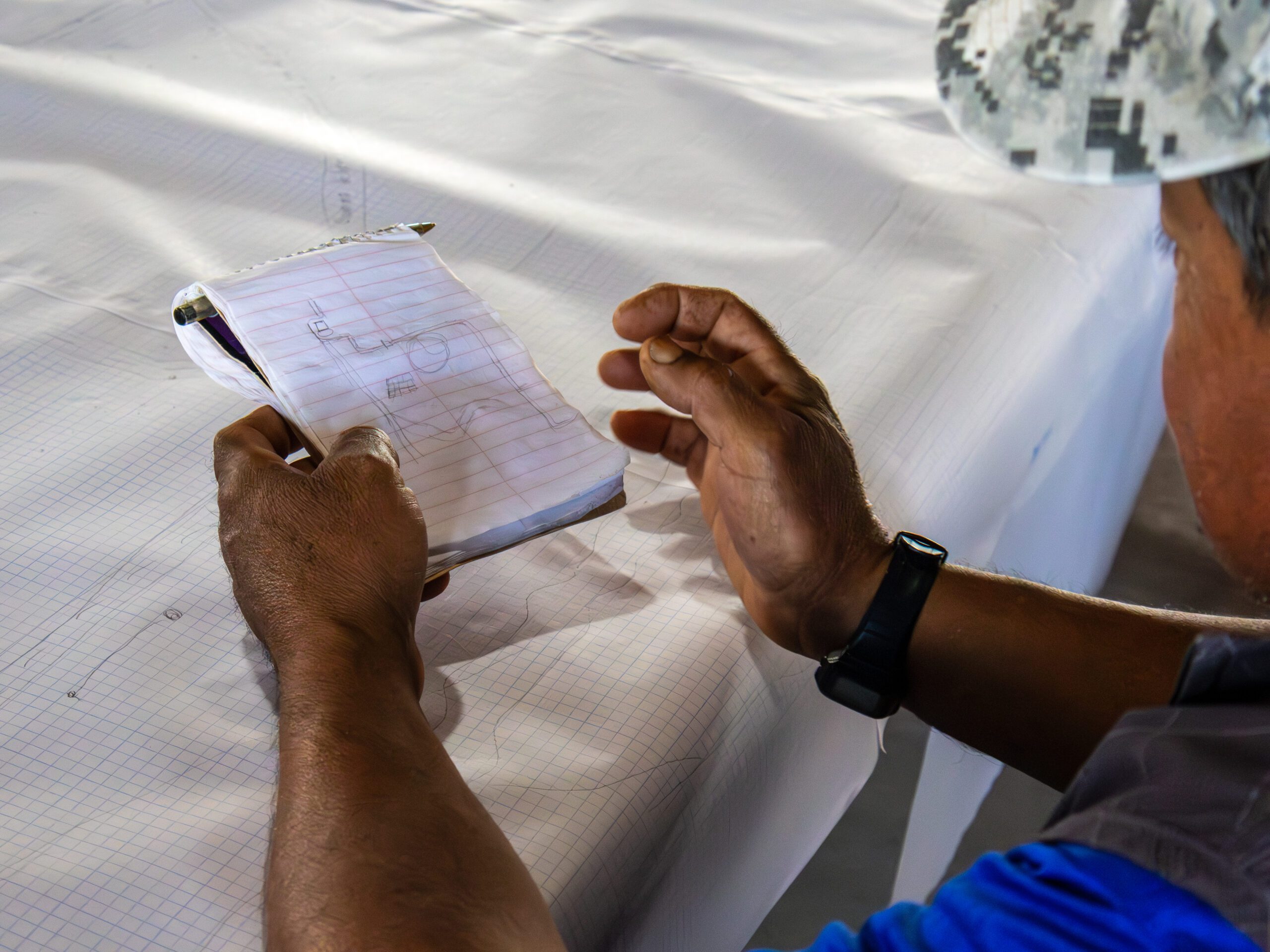
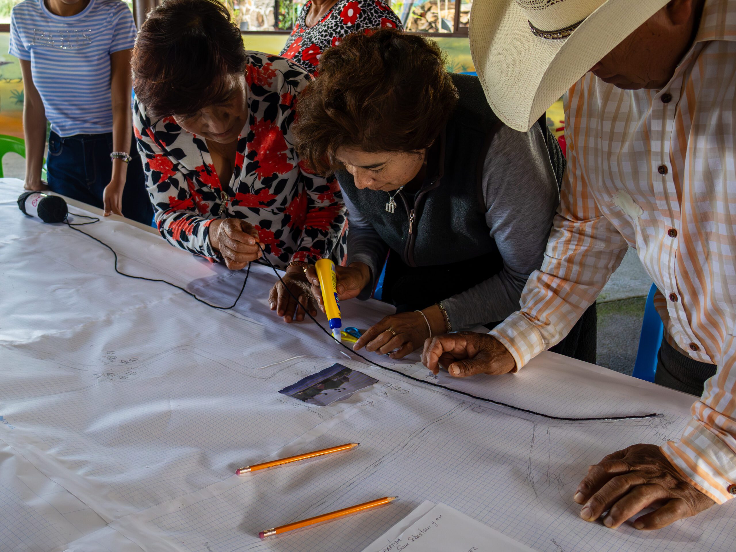
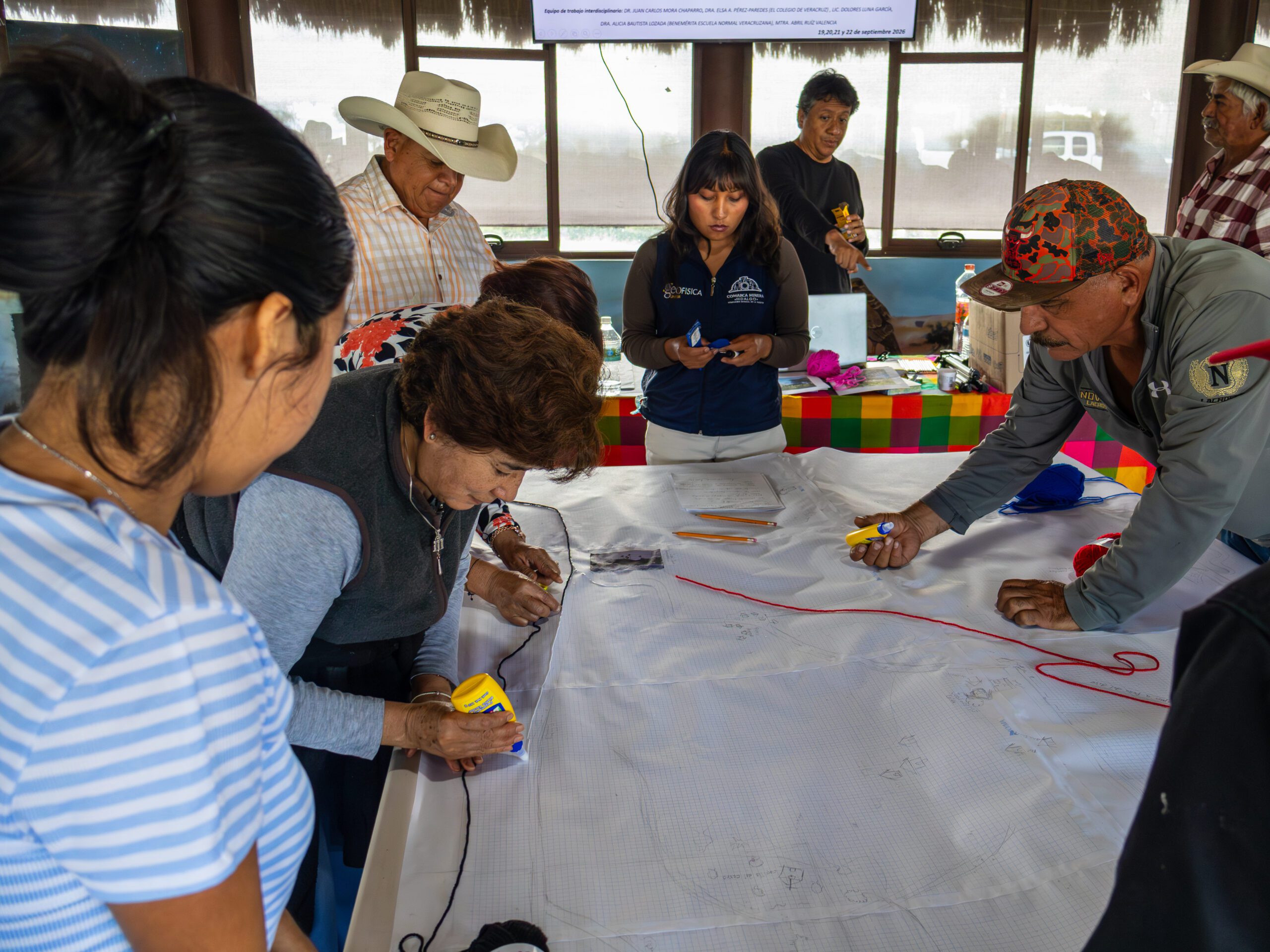
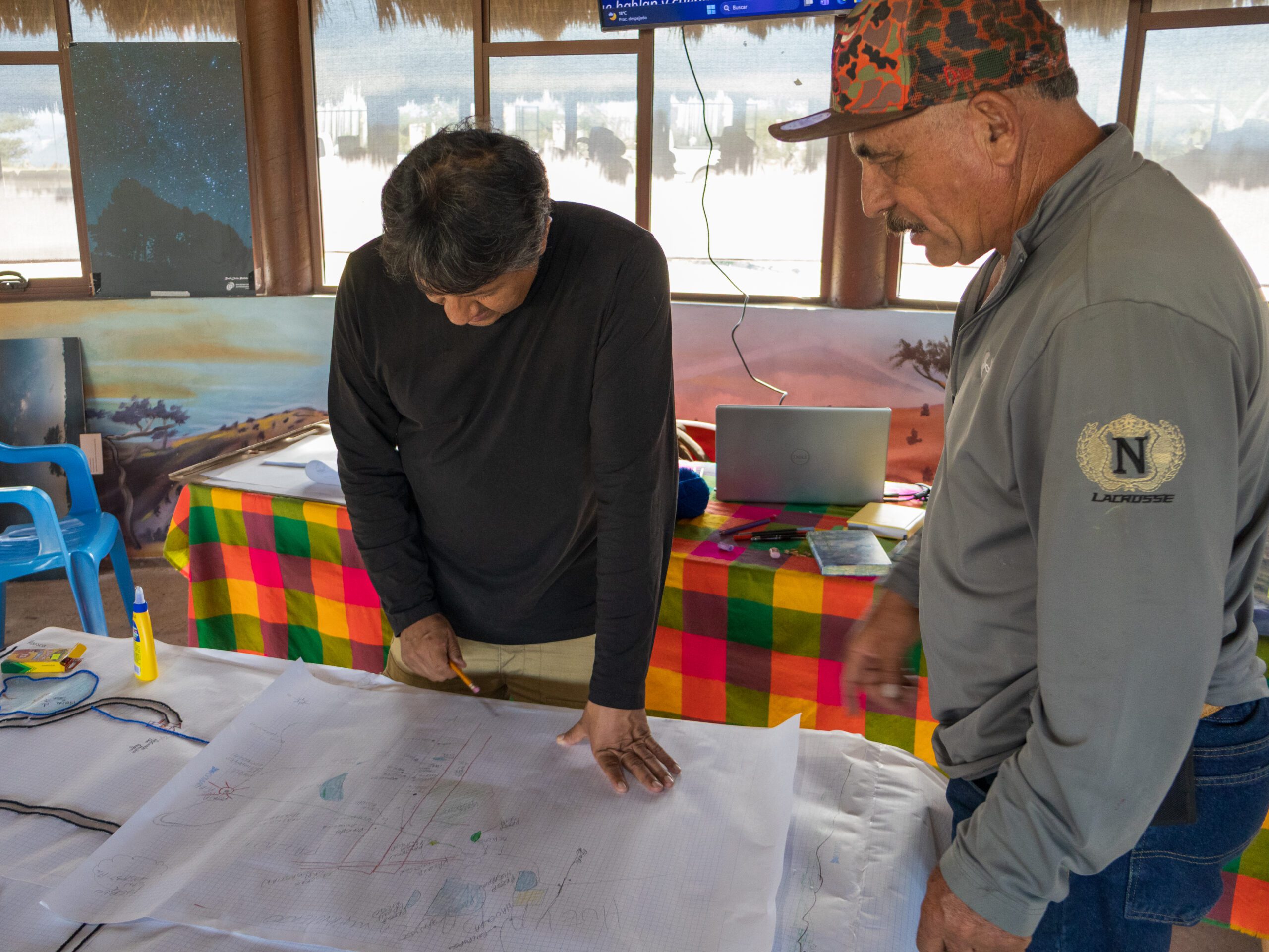
During this participatory event, community members shared their knowledge, experiences, and memories, identifying specific locations, events, and cultural, geological, and natural elements within the territory that are integral to their history and identity.
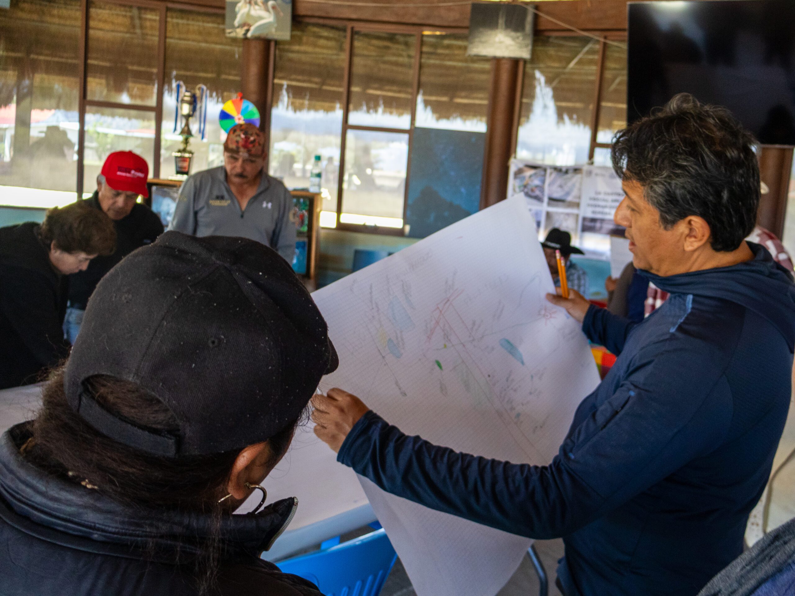
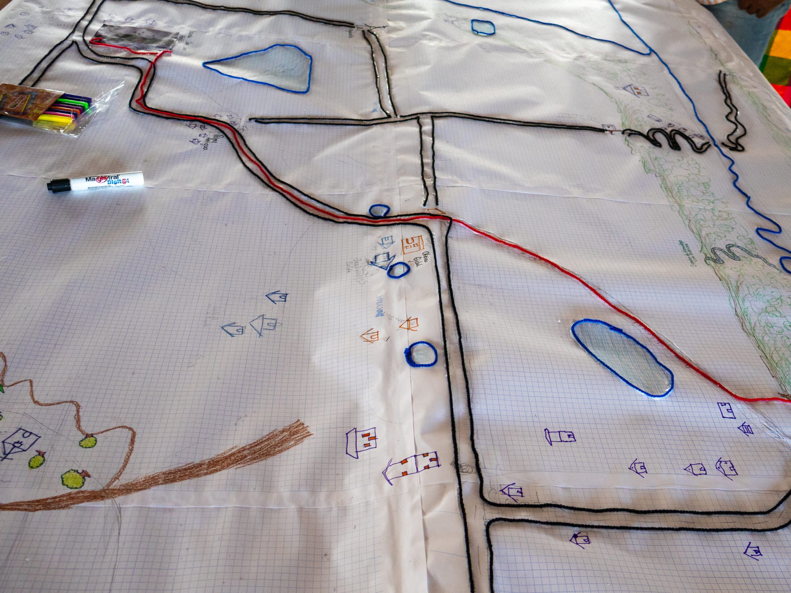
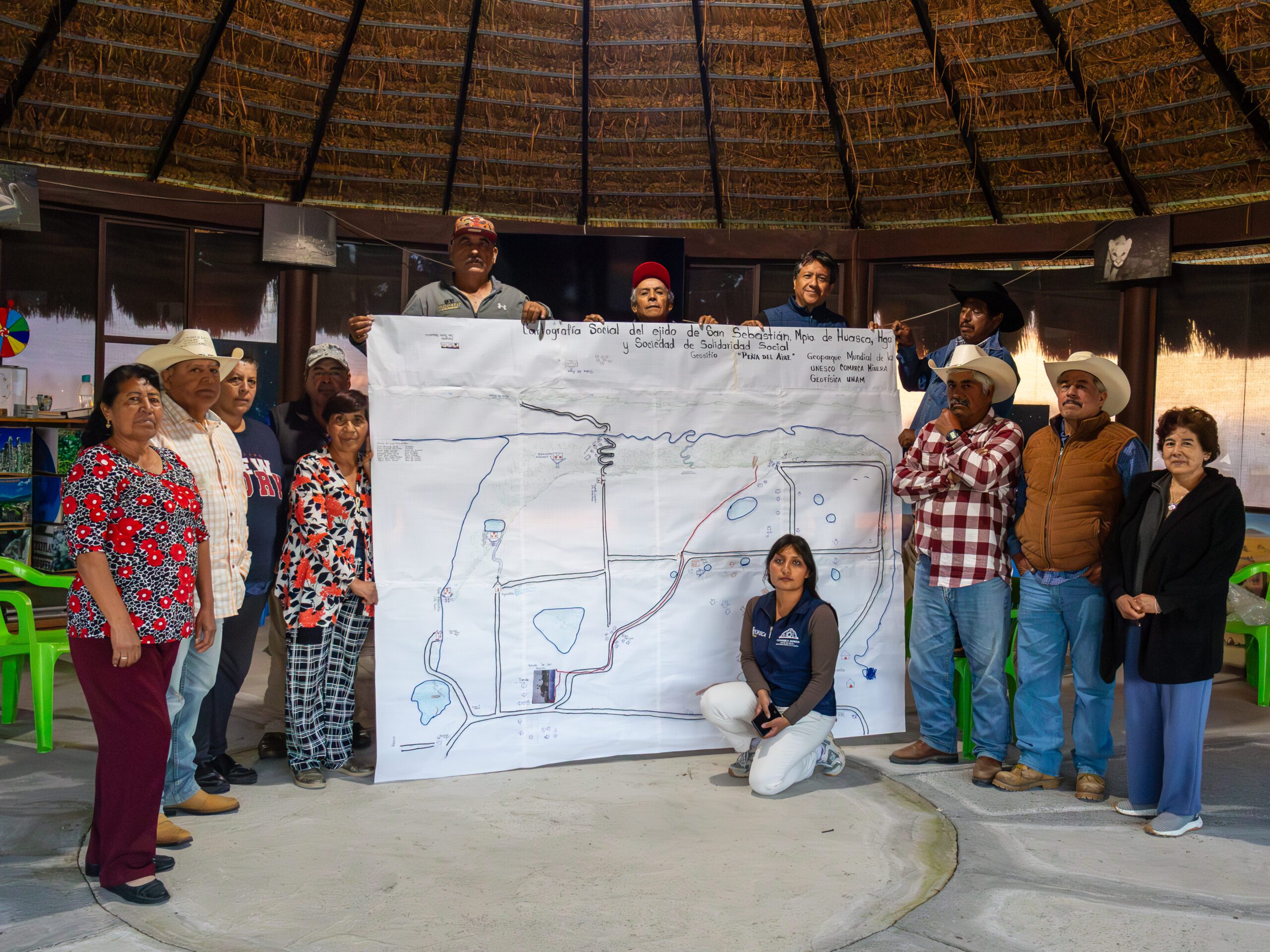
To conclude the workshop, a map was created covering the area of the Peña del Aire Geosite and its surroundings. Participants then compared their representations to identify commonalities, differences, and new elements that could further enrich the maps. Beyond merely depicting a geographic space, the exercise highlighted the value of collective memory and the stories of the territory’s inhabitants, demonstrating that a map can also serve as a tool for understanding, preserving, and recounting a community’s relationship with its environment.
We extend our thanks to Juan Alvarado Jarillo and the entire team at the Peña del Aire Geosite for their willingness to participate and for sharing their knowledge during this gathering.