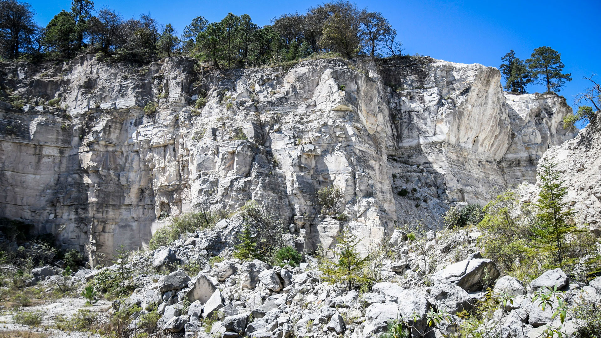
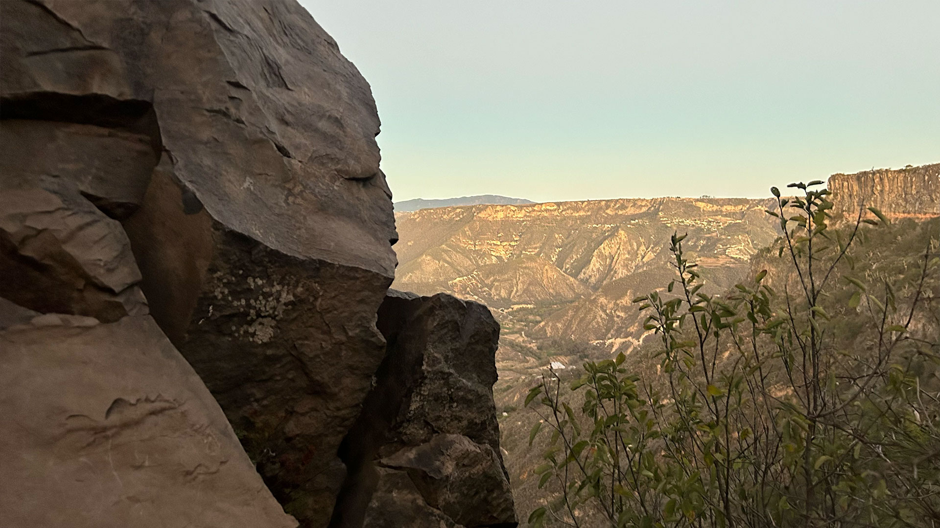
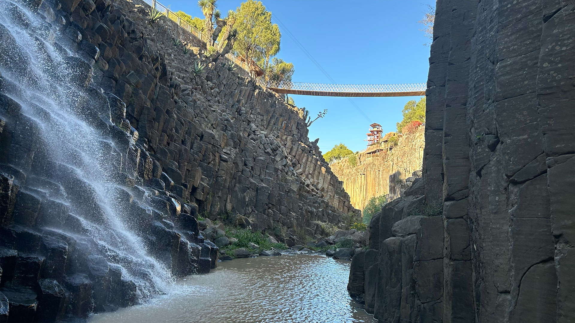
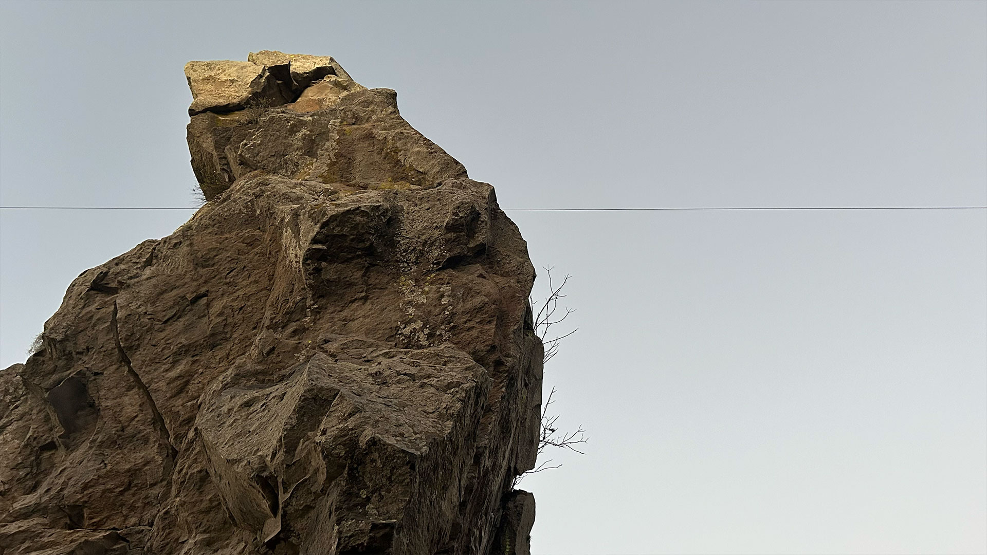
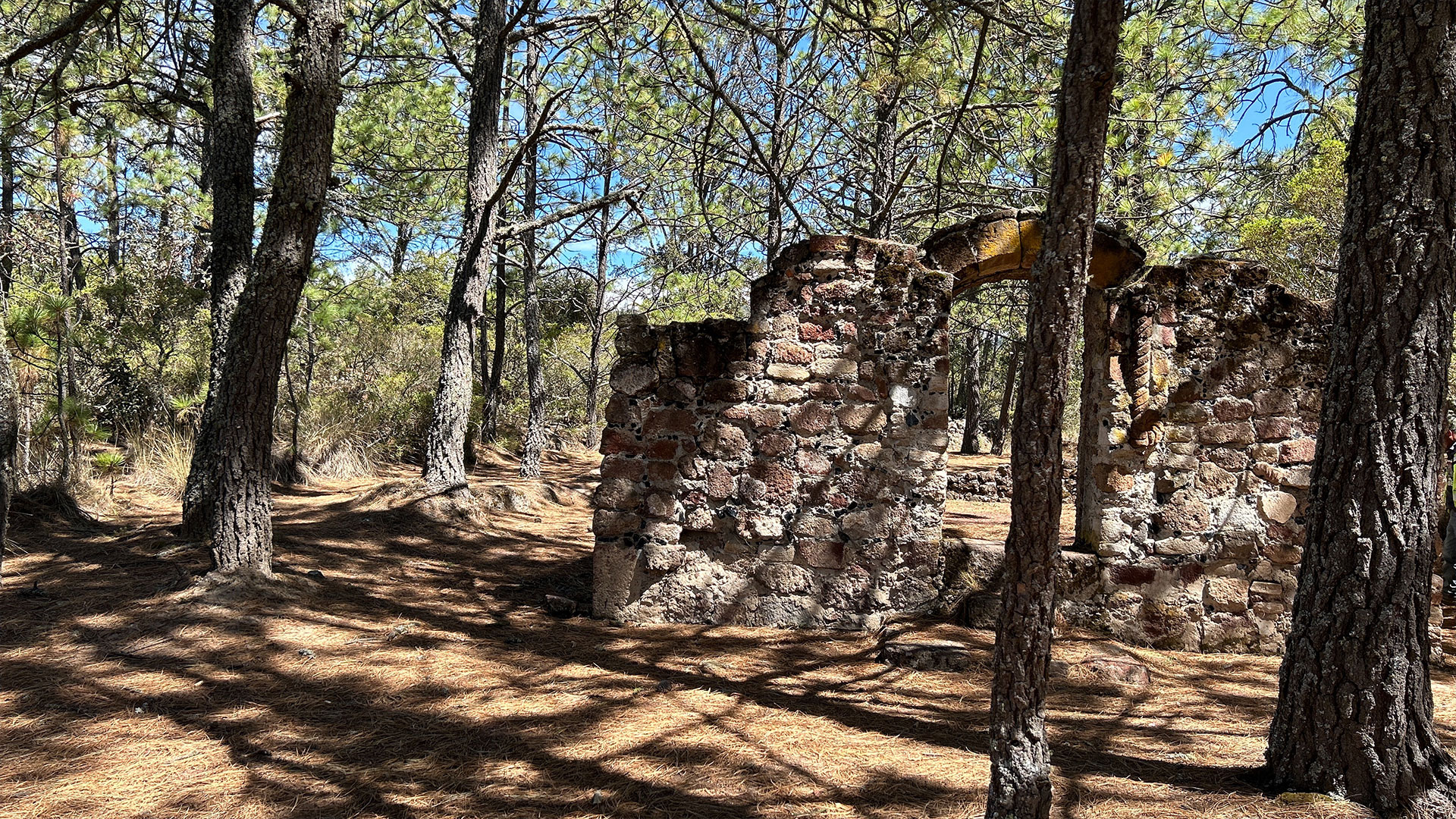
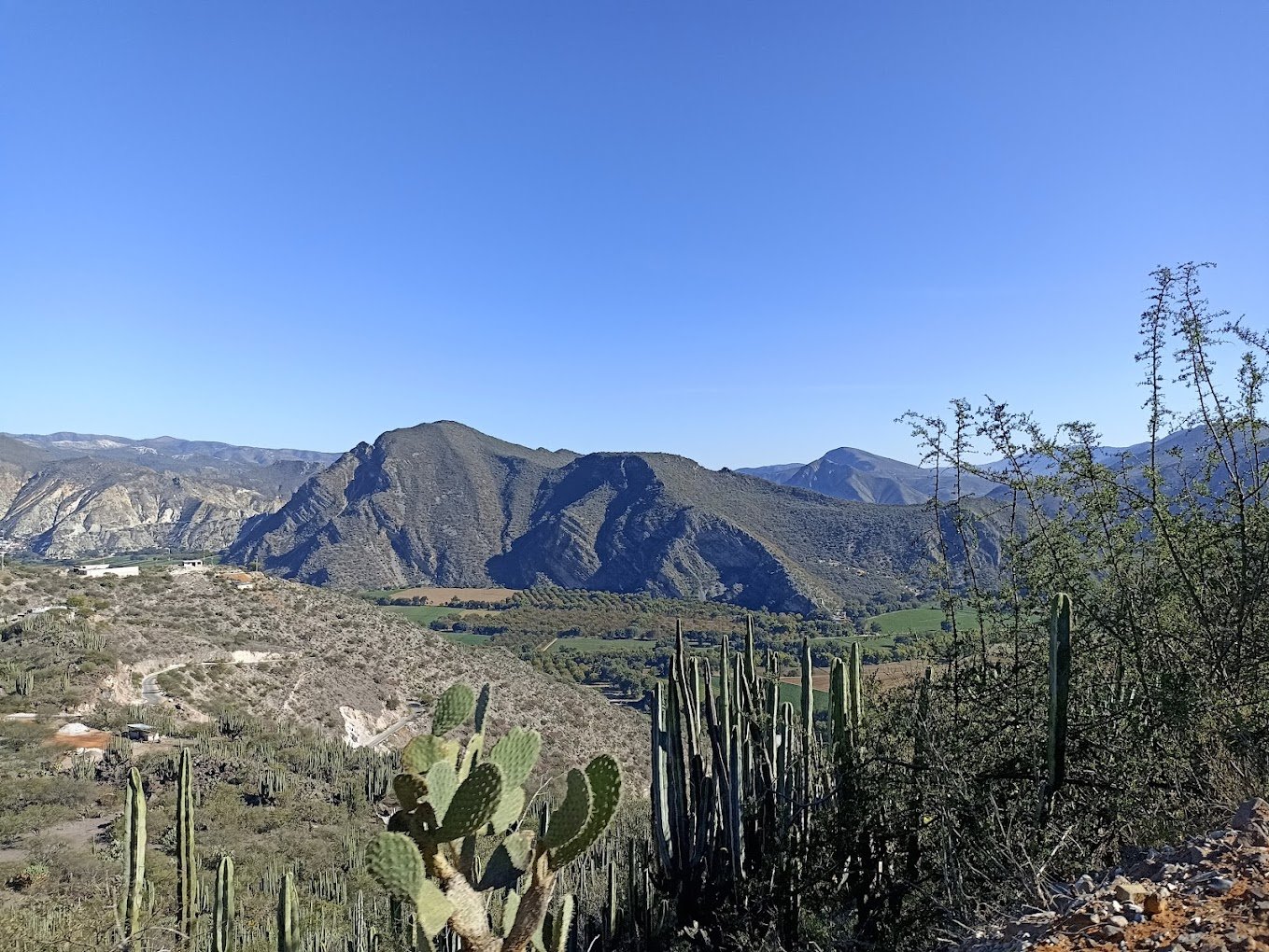
A geosite is an area whose geological characteristics are distinctive of its formation or evolution process and constitute an example of geological heritage both locally and globally, which is why they are preserved and protected for their scientific, educational and cultural value. The cultural heritage sites that have been built with the rocks of the geosites are also considered as such.
Their formation is due to the interaction of a basaltic lava flow with a body of water.
The Mineralogy Museum houses a large collection of more than a thousand minerals, rocks and fossils from Mexico and the world.
A landscape characterized by geoforms such as rocks, valleys and ravines, which reflects its Tertiary volcanic origin.
Protected natural area proposed to counteract human pressure on Cerro de Cubitos.
From a geological standpoint, the hill has pliocene formations, including volcanic cones and major volcanic structures.
Located 2800 meters above the sea level in the ejido Xoloxtitla, these structures are remnants of an explosive eruptive event.
Geosite in the extreme north of the comarca minera, in the municipality of Atotonilco el Grande known for its hot springs.
These geological formations are part of the pliocene zumate formation.
Dam in santa maría regla, in Huasca de Ocampo, vestiges such as a chimney and a tower are observed above the dam
The cerro del lobo viewpoint is in the heart of the comarca minera in the city of Pachuca.
It is located in the barranca de Metztitlán biosphere reserve. Its location offers beautiful night landscapes
Crag located in the municipality of Epazoyucan, it bears the name of “el guajolote”, a native bird, due to a geoform that resembles this bird.
The formation resembles a nun, which has led the local population to believe that it is the petrification of a nun as punishment for her bad deeds.
Open pit mine located in the pueblo mágico Mineral del Monte, which is dedicated to the exploitation and production of ornamental quarry rock.
Located in Singuilucan, southeast of the Comarca Minera, this area mainly shows volcanic structures of basic composition.
A natural viewpoint in the heart of the el Chico National park, it offers impressive views of a section of the comarca minera.
This park, one of the oldest in Mexico, is located on the west side of the Comarca Minera, in the municipality of Mineral del Chico.
The geosite is located in the central-western region of the Comarca Minera, inside el Chico National park.
Protected natural area of state jurisdiction, officially established in 2004, with a surface area of approximately 99 hectares.
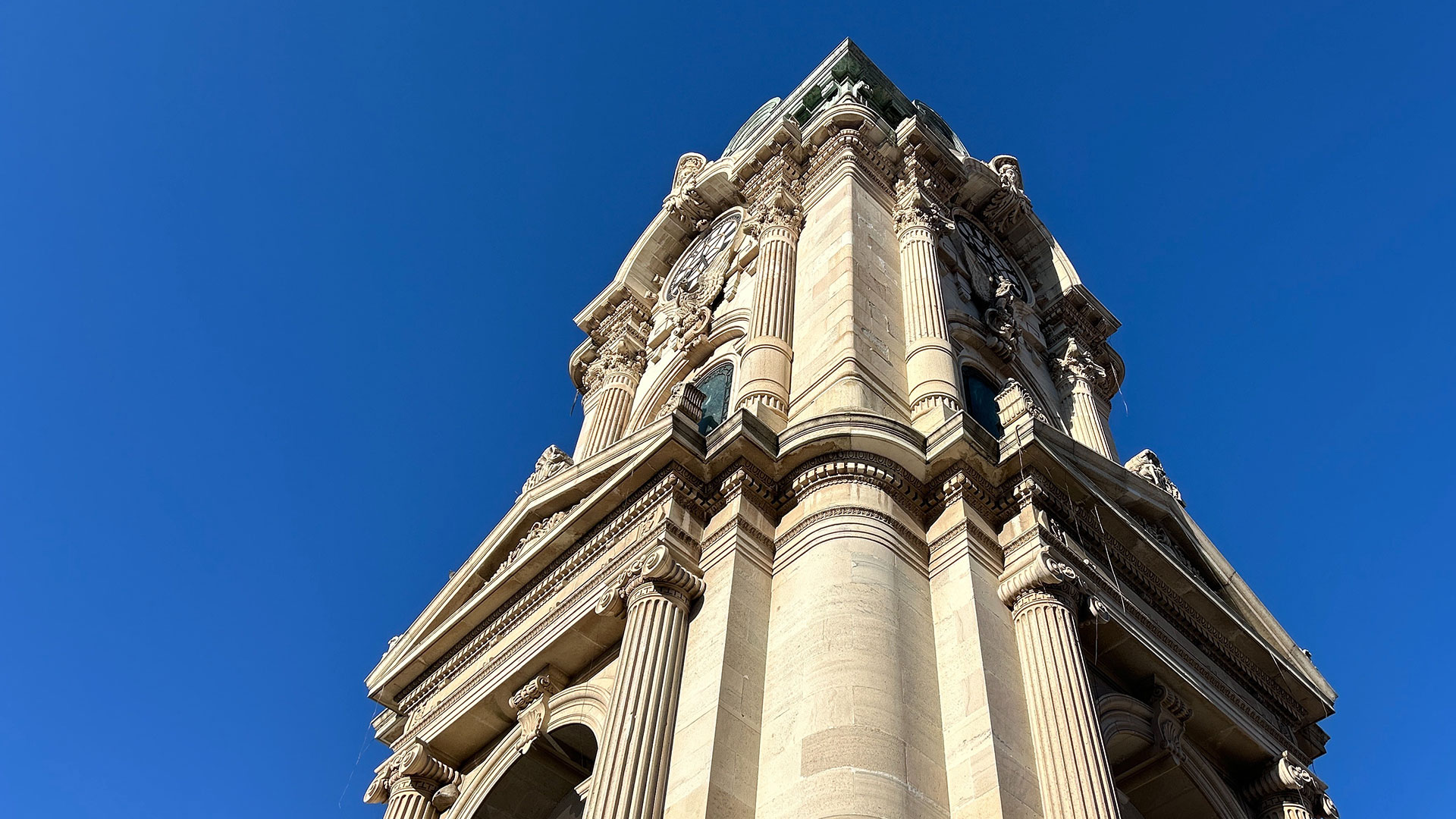
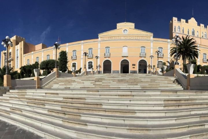
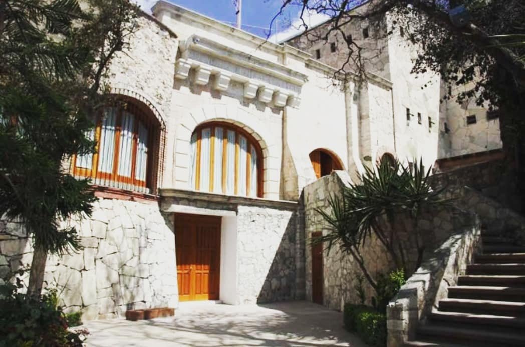
The Monumental Clock was built based on a design by architect tomás cordero and under the supervision of engineers Francisco Hernández and Luis Carreón Between 1904 and 1910.
The statue of Christ the King, is a work by engineer José Luis Lugo Vera and architect César c. Nárvaez benítez. Its construction began in 1992.
The former convent of San Andres Apostol, built in 1540 by the Augustinian friars, is a renaissance building in the plateresque style.
Inaugurated on october 12, 2012, was established to showcase the mining history of the region through its gastronomy based on this treat.
Established in the mid-nineteenth century on land donated by an employee of the local mining companies, it houses 755 tombs.
Established in 1536 and built by Fray Juan de Sevilla Between 1542 and 1562.
The Hacienda is recognized as the origin of mining industrialization in the New Spain.
The bosque de las truchas ecotourism park is a space that offers a wide range of activities.
Located between the municipalities of Atotonilco el Grande and Huasca de Ocampo, it coincides with a portion of the protected natural area.