In 1988 it was listed as a historical monument by the National Institute of Anthropology and History
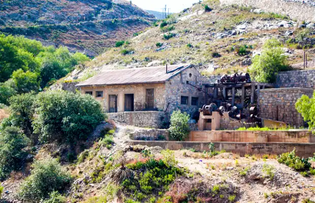
The Hacienda is recognized as the site where mining industrialization originated in New Spain, when in 1555, Bartolomé de Medina, a miner from Seville developed and applied the method of amalgamation or courtyard processing. This process involved the addition of mercury, salt and copper sulfate to the ground minerals extracted from the subsoil, which were then placed in the ample patios of the refining haciendas for the extraction of silver and other metals with this process the metals were separated from the rest of the minerals. These ores were then taken to the smelter.
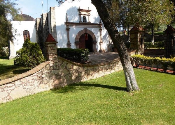
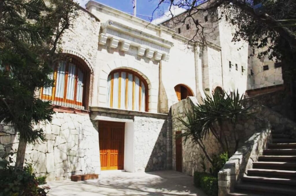
Today, this historic site is home to the Real del Monte University Club.
LOCATION
HOW TO GET THERE?
To get there, head north on Calle Mariano Matamoros towards the Nuevo Hidalgo Viaduct, take the old highway to Real del Monte where it is located.
SERVICES
Sports club with tennis courts, semi-Olympic swimming pool.