The forest soils are found on volcanic rocks associated with the Transmexican Volcanic Belt province. It was named a state park in 2004.
BOSQUE EL HILOCHE STATE PARK
GEOSITE DESCRIPTION
It is a natural protected area under state jurisdiction, officially established in 2004, with an area of approximately 99 hectares.
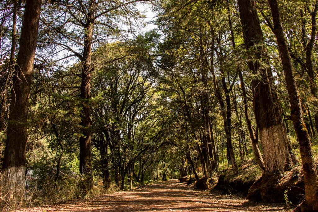
The park is located in a volcanic environment where fertile soils developed that gave rise to the coniferous forest. It is renowned for its beauty and grandeur, and is the source of many local legends, such as that of treasures buried by ancient miners. The reserve includes a network of trails that facilitate exploration of the area, and within it is the Lienzo Charro Municipal where charrería, a traditional Mexican sport, is practiced.
BIOTA TO WATCH
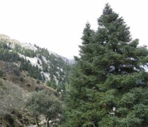
This park is home to a diversity of trees such as firs, táscates, pines and oaks, along with a variety of plants totaling about 50 species.
LOCATION
HOW TO GET THERE?
From Pachuca take the Corredor de la Montaña highway towards Mineral del Monte. When reaching the main entrance, almost in front of the Museo del Paste, turn right towards El Hiloche state park. The estimated driving time is 18 minutes.