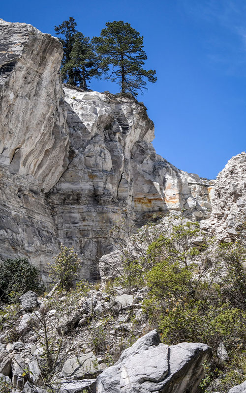
OPEN PIT MINE LOCATED IN THE PUEBLO MÁGICO MINERAL DEL MONTE, WHICH IS DEDICATED TO THE EXPLOITATION AND PRODUCTION OF ORNAMENTAL QUARRY ROCK.
LOCATION IN GEOGRAPHICAL COORDINATES
20° 7’9.69″N, 98°38’38.34″O
MUNICIPALITY
Mineral del Monte
Ejido
Tezoantla
GEOLOGIC PROVINCE AND AGE
5 to 3 Myr Trans-Mexican Volcanic Belt
TEZOANTLA QUARRY
Descripción del geositio
·Open pit mine located in the Pueblo Mágico Mineral del Monte, which is dedicated to the exploitation and production of ornamental quarry rock.
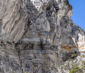
They are deposits of pyroclastic flows of acid composition with hydrothermal alteration. Due to its compactness and white color, with green tones, it has been used for the construction of different emblematic buildings: Pachuca Monumental Clock, houses in Mineral del Monte and constructions in Mexico City.
GEOLOGICAL ELEMENTS
It is a rhyolitic tuff (ignimbrite-type pyroclastic flow) with banding varying from brownish-gray to pinkish-gray 2 to 10 mm thick. The rocks contain plagioclase-type minerals, quartz and biotite, surrounded by a white matrix.
BIOTA
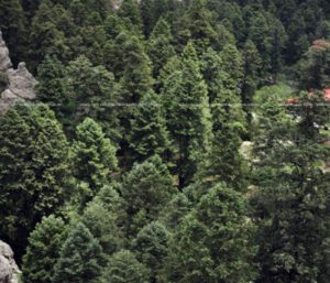
In addition, in the geological area visitors can enjoy the natural richness of a forest with a remarkable diversity of pine species.
LOCATION
HOW TO GET THERE?
From Pachuca take the highway to Tulancingo, exit at the detour to El Nopalillo, pass by Cerro Las Navajas, Peña El Guajolote and continue towards Mineral del Monte. The Tezoantla quarry is 20 minutes from Peña El Guajolote.
The estimated driving time is 34 minutes.
El tiempo aproximado en automóvil es de 34 minutos.