20° 5’7.68″N, 98°33’6.96″O
Epazoyucan
Nopalillo
Pliocene 5 Myr Province
Trans-Mexican Volcanic Belt (Neovolcanic Axis).
From a geological standpoint, the hill has pliocene formations, including volcanic cones and major volcanic structures.
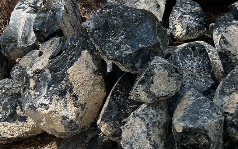
Known in Náhuatl language as ‘Itzepetl‘ (Itztli, obsidian and tepetl, hill), Cerro de las Navajas is located in the Municipality of Epazoyucan, 3,200 meters above the sea level. It is a site of geological and anthropological interest because, in pre-Hispanic times, during the Aztec political hegemony of the Triple Alliance (15th century), this site became one of the most important points of exploitation, manufacturing and distribution of obsidian to all Mesoamerica.
The geological formations of the site date from the Pliocene and include cones and major volcanic structures. The obsidian has black, green and golden colorations, the latter unique in the world.

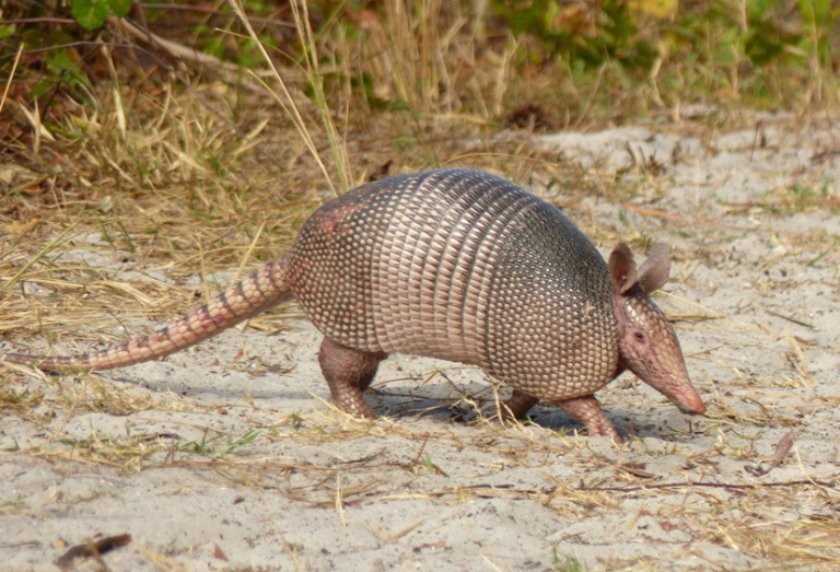
The site is home to more than 140 plant species, including xerophytic scrub. Mammals include rabbits, wild rodents, armadillos, foxes, opossums, gophers and birds such as mockingbirds, doves, crows and owls.

Tulancingo, detour to Nopalillo at Epazoyucan, there are public transportation services.
Booth at the entrance, tourist guides, camping area, viewpoint, food area and security.

