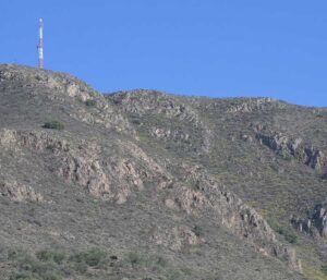
LOCATED NORTHEAST OF PACHUCA AND IS THE HIGHEST ELEVATION AREA NEARBY.
LOCATION IN GEOGRAPHICAL COORDINATES
20° 8’25.72″N, 98°44’22.63″O
MUNICIPALITY
Pachuca de Soto
Ejido
Pachuca
GEOLOGIC PROVINCE AND AGE
Pliocene 2.5 to 5 Myr Trans-Mexican Volcanic Belt
Cerro de San Cristóbal
GEOSITE DESCRIPTION
This site is located northeast of Pachuca and is the highest elevation around the urban area of Pachuca de Soto. It also houses numerous mining works used in the exploitation of silver in Real del Monte and Pachuca.
GEOLOGICAL ELEMENTS
It is known to be the type locality of the Pachuca Formation. It is also notable because Gerhard vom Rath described for the first time the minerals tridymite and cristobalite in 1868 and 1887 respectively, these minerals are generally found in the vesicles of the rock. The rocks of Cerro San Cristobal are part of the Pachuca Formation, they are of andesitic composition, product of an effusive volcanic activity. They contain plagioclase, pyroxenes and olivine crystals.
BIOTA TO WATCH
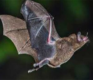
In the surroundings of the urban area of Pachuca there are tecoloczuchitl, green rose, tepozal in danger of extinction, there are also bay trees, pines, fir trees, willows, etc. There are hawks, gophers, bats, birds of prey such as vultures, vipers, rabbits, insects, reptiles, etc.
It is located northeast of Pachuca and is the highest elevation area nearby.
LOCATION
LOCATION
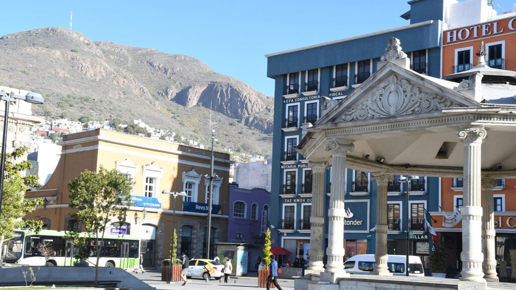
HOW TO GET THERE?
The approximate time by car is 10 minutes, leaving from the Pachuca Monumental Clock Square.